Log In 
Difficulty
 Class 1 

 Intermediate, D3 / R1 / II
Risk Factors
ExposureLow
RockfallLow
Route-FindingLow
CommitmentLow
Trailhead
Quandary 10,850 feet
Summit
14,272 feet
Elevation Gain
3,450 ft
Length Round-TripRT
6.75 mi
Peak Conditions
Downloads
Photo
Show More
Route Last Updated: Jul 2026

Trailhead

From Breckenridge, drive 8 miles south on Colorado 9. Turn right (west) on the 850 (Blue Lakes) Road. Trailhead parking is on the right, just after you leave the highway. If you took the Breckenridge shuttle, it will drop you off here.

Route Description

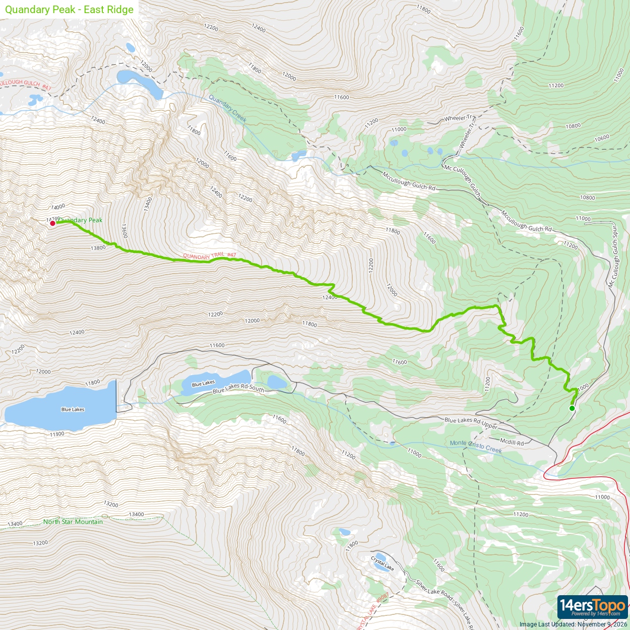
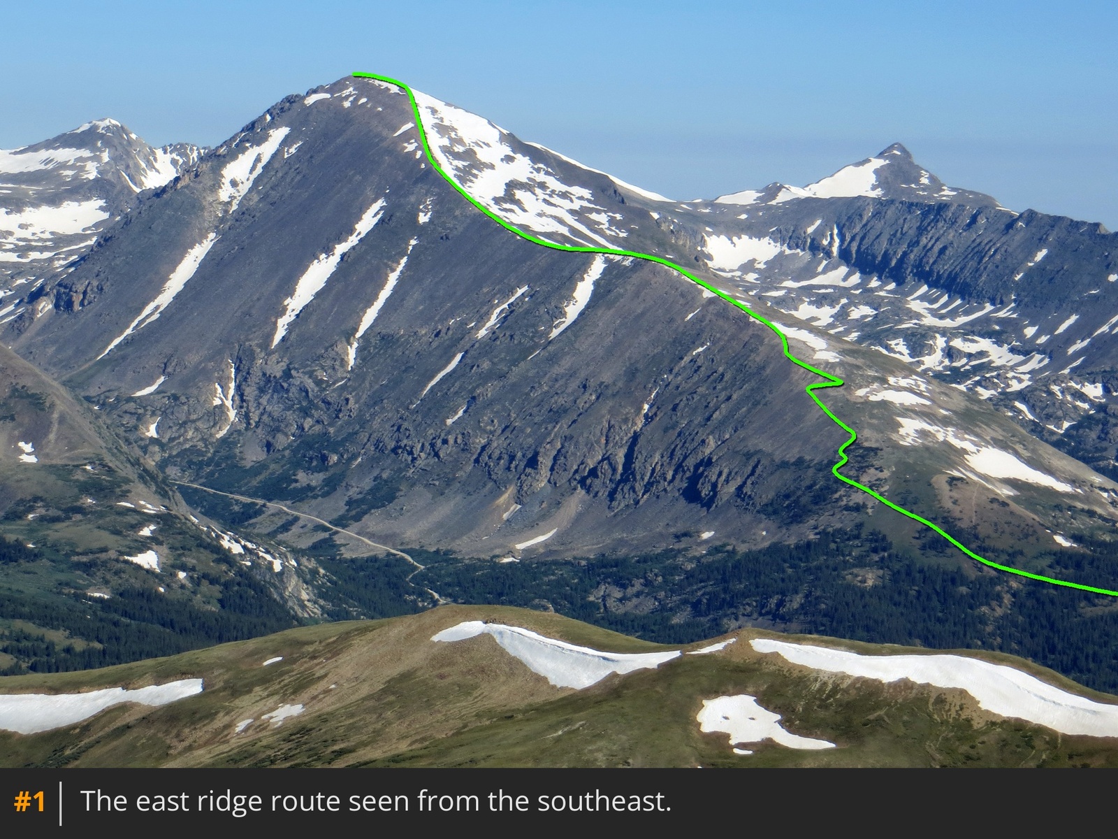
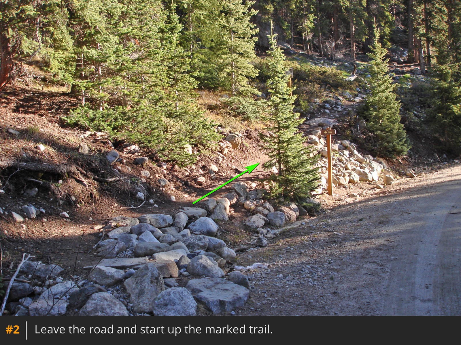
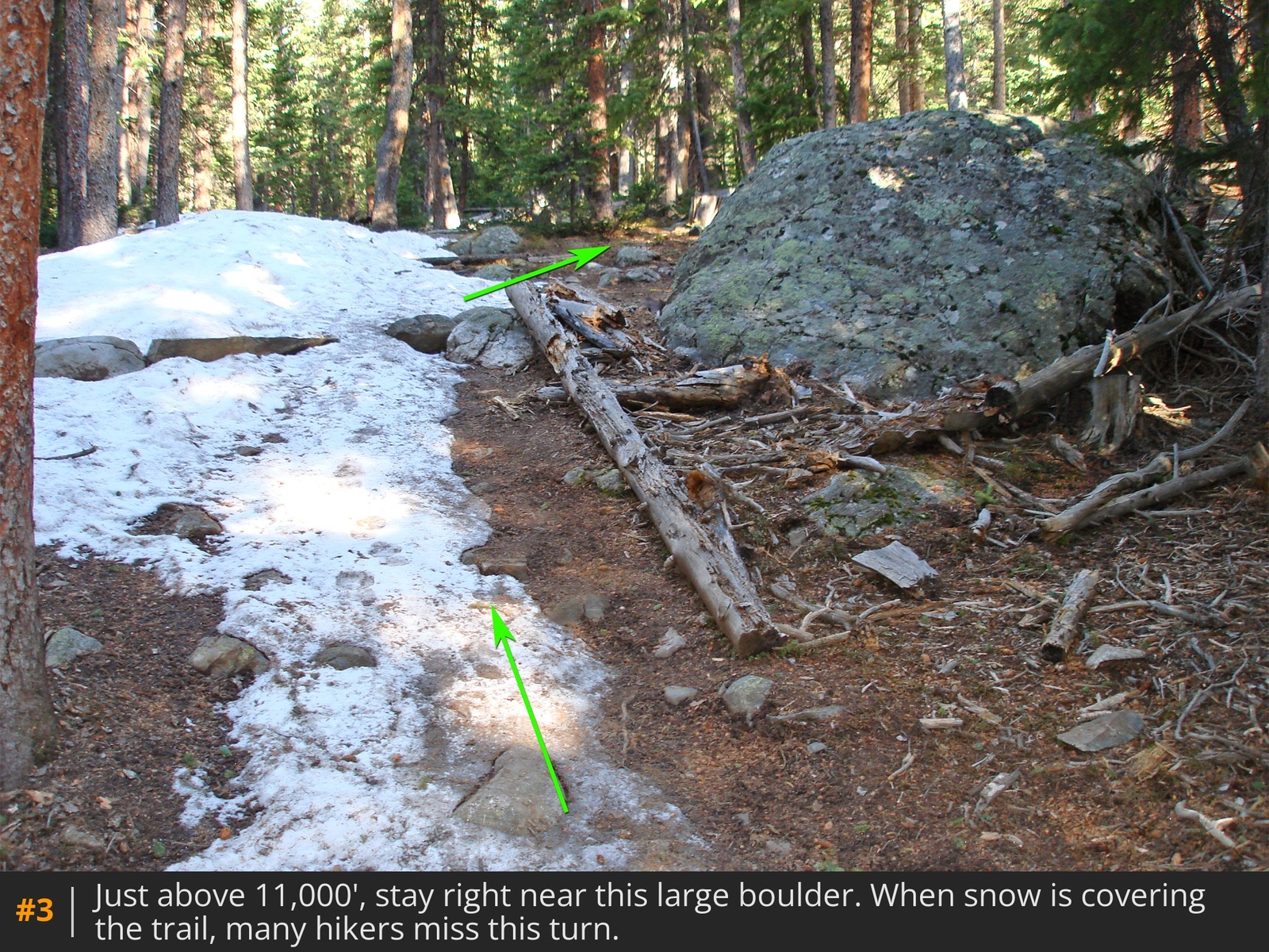
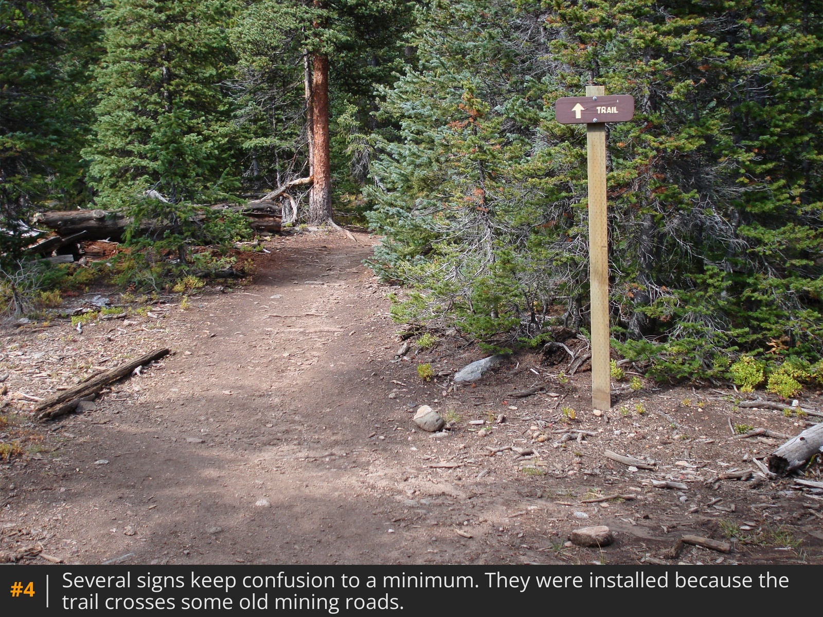
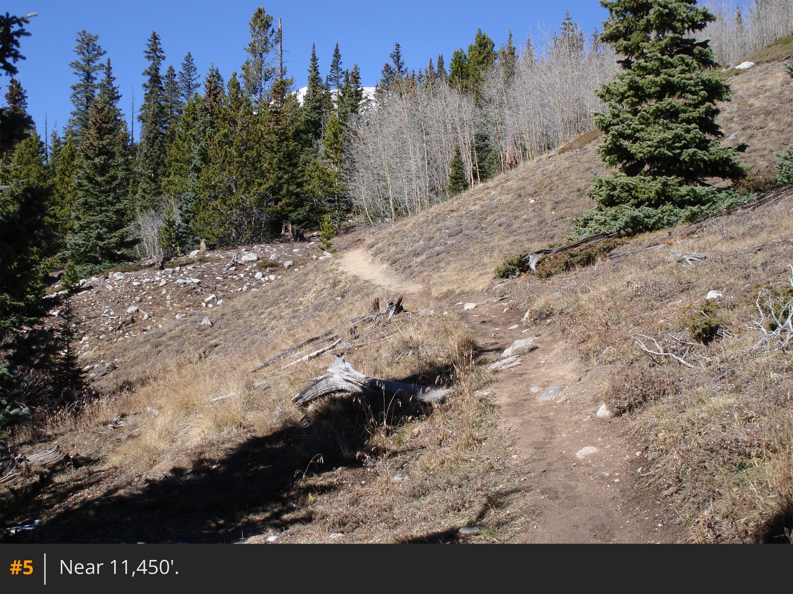
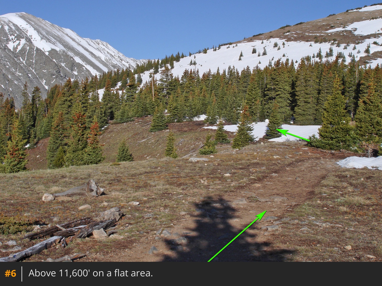
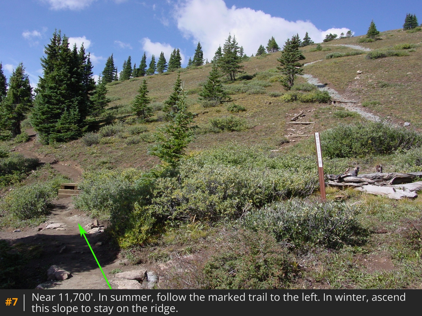
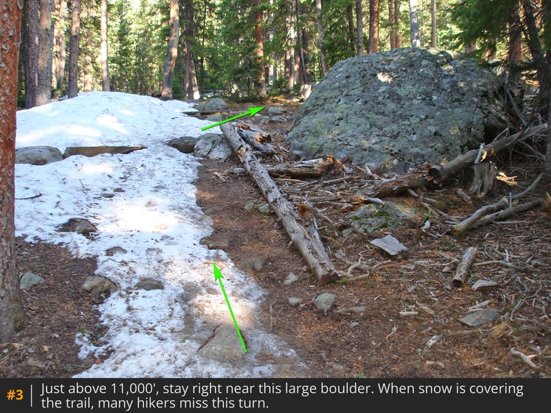
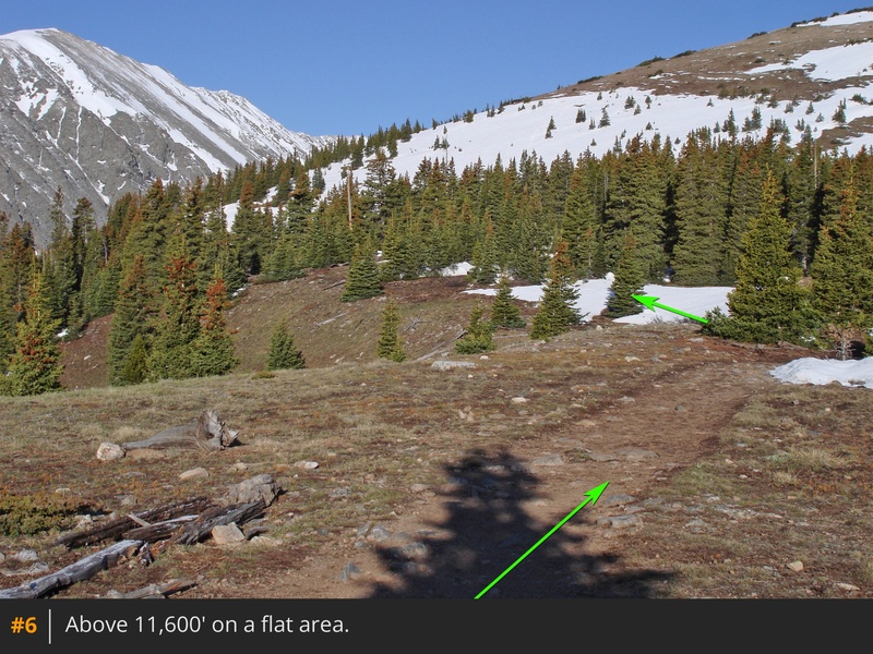
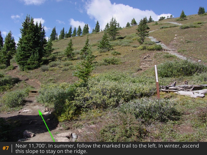
 1 provides a view of the route from the southeast. From the parking area trail kiosk, briefly follow a trail to the McCullough Gulch 851 road. Turn right and follow the road for 0.25 mile, then turn left onto the marked, Quandary Peak trail  2. Ascend into the forest, passing a large boulder  3, then turn right and follow the well-defined trail through the forest  4. Above 11,300', pass through clearings  5 and climb a hill where the trees begin to thin out. Continue to reach the crest of the east ridge near the 11,600' mark  6. Walk another 0.2 mile to the base of a slope  7.

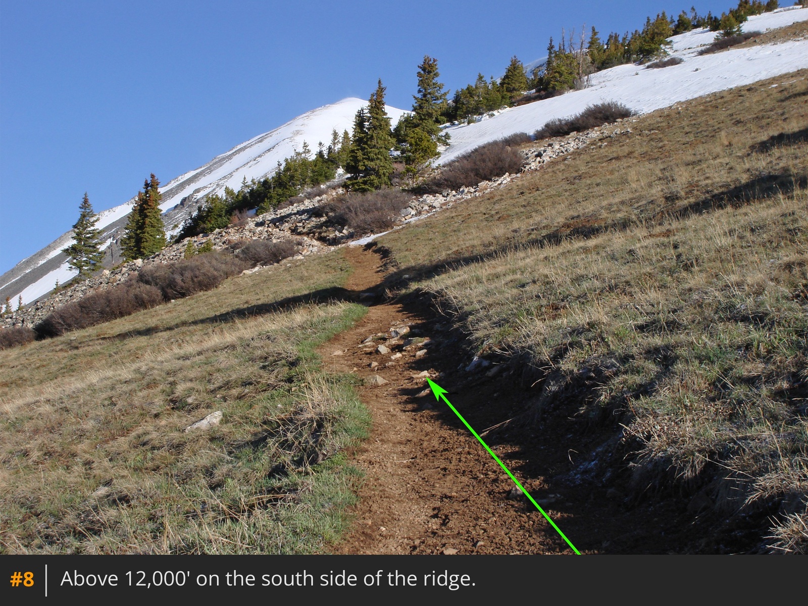
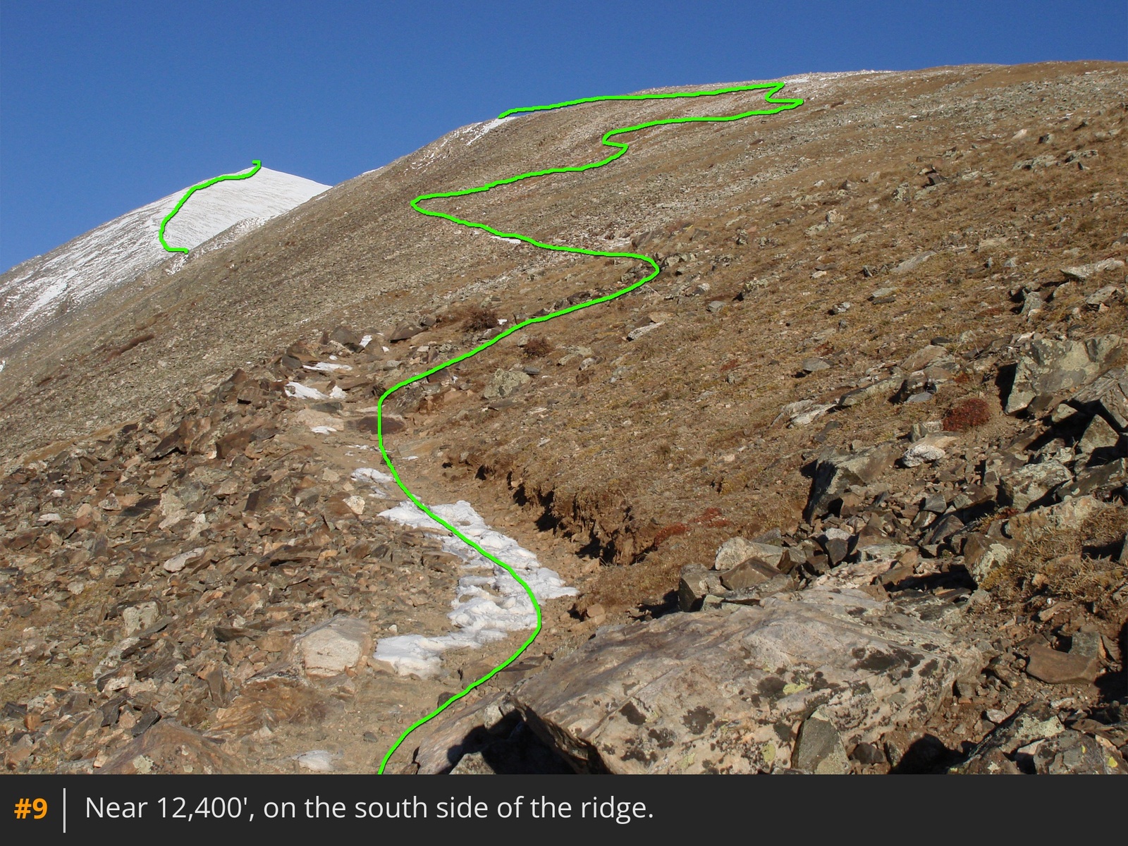
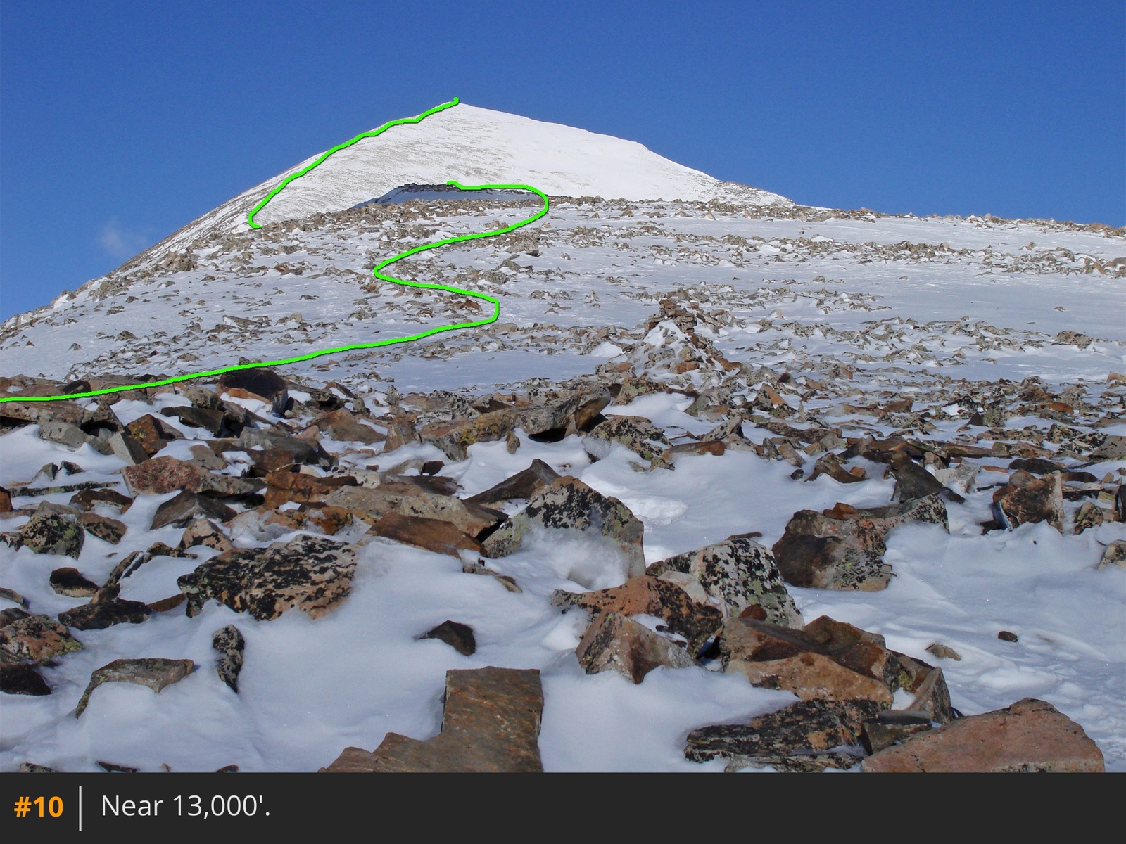
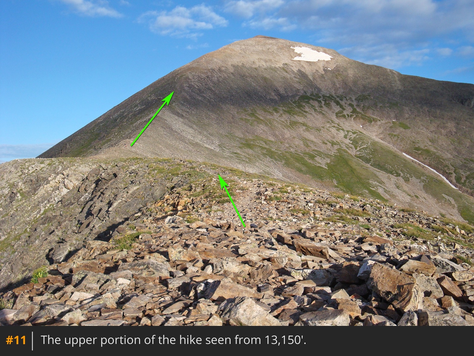
From here, follow the trail as it veers toward the left (south) side of the ridge and gradually ascend back toward the ridge crest  8  9. Near 12,800', rejoin the ridge  10 and continue west to reach a 13,150-foot point on the ridge  11.

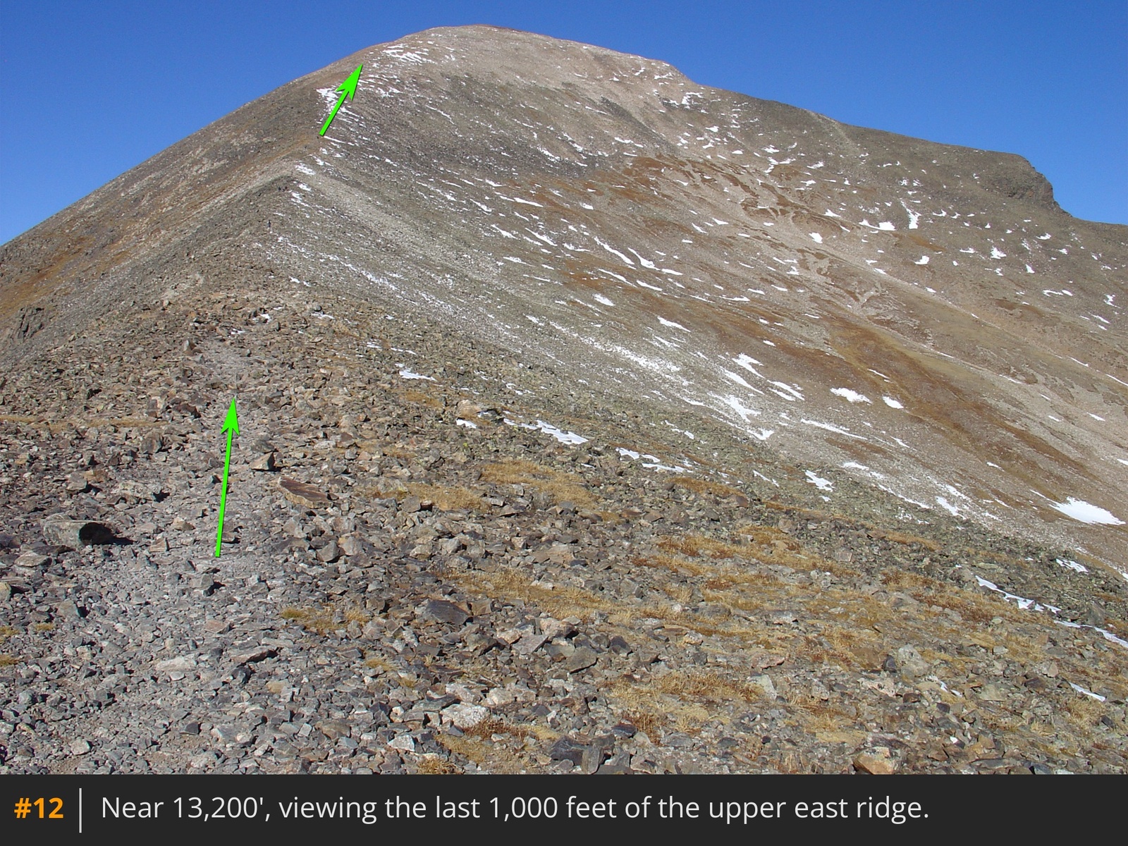
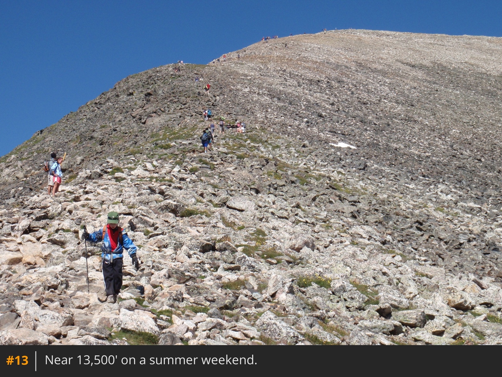
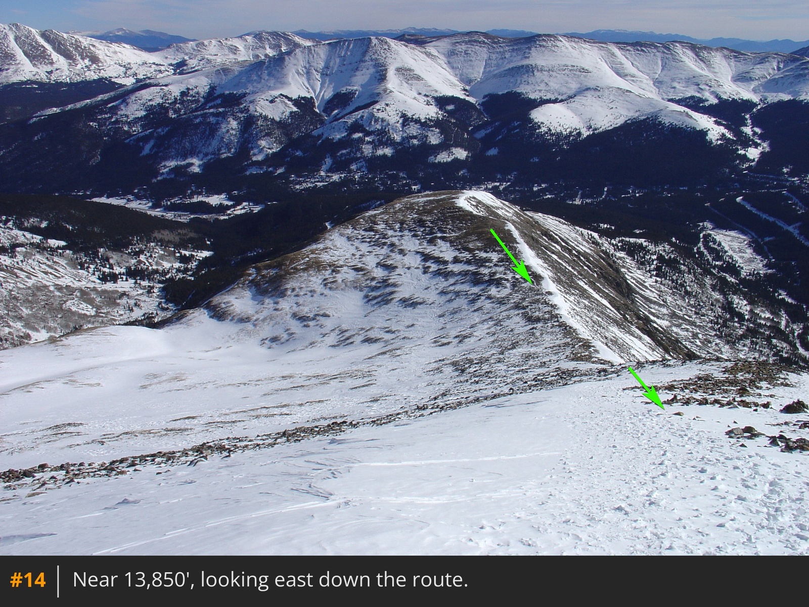
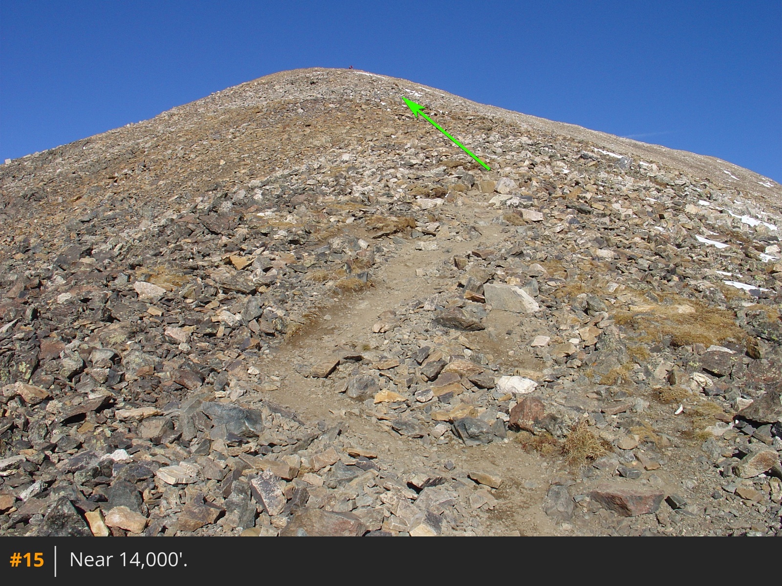
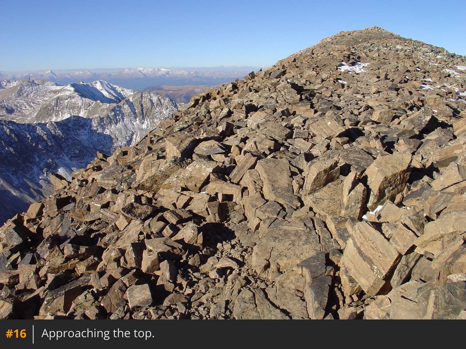
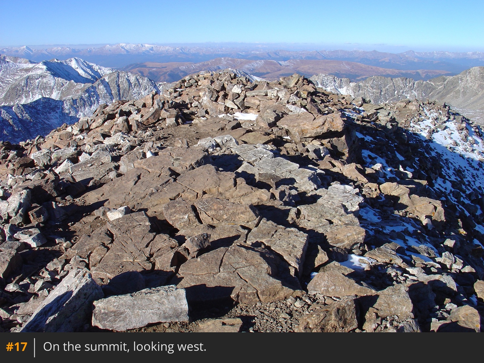
Staying on the ridge, traverse a flat section and begin the ascent of the final 1,000 feet  12. The route here is straightforward: follow the ridge while taking in views of Quandary's upper east slope  13  14  15. Gain the summit ridge and walk to the top  16  17.

In Winter

To avoid possible avalanche terrain between 11,800' and 13,000', do not follow the summer trail left (south) to the south side of the ridge. Instead, ascend the slope in  7 to gain a 12,100-foot point and continue along the ridge crest to reach the 13,150-foot point  11.

Skiing?

This is a popular ski route. Through June, the upper and lower east slope bowls usually have decent snow coverage.

Notes

Quandary's east ridge is one of the easiest Colorado 14er routes but make sure you are properly prepared. If you're new to the 14ers, check out the Getting Started section.

Maps

JPG Image
Static Map JPG
Interactive Map & 3D Flythrough
Human Verification Required

Photos

#1#2#3#4#5#6#7#8#9#10#11#12#13#14#15#16#17

Weather

Caution: The information contained in this route may not be accurate and should not be the only resource used in preparation for your climb. Failure to have the necessary experience, physical conditioning, supplies or equipment can result in injury or death. 14ers.com and the author(s) of this route provide no warranties, either express or implied, that the information provided is accurate or reliable. By using the information provided, you agree to indemnify and hold harmless 14ers.com and the route author(s) with respect to any claims and demands against them, including any attorney fees and expenses. Please read the 14ers.com Safety and Disclaimer pages for more information.

Copyright: Route information, text, risk factors, maps, GPX files, charts, photos, 14ers.com-created map imagery, flythroughs, and other content provided in this route description are copyrighted by 14ers.com and may not be copied, reproduced, republished, distributed, modified, or used to create derivative works without prior written permission.

Please respect private property: 14ers.com supports the rights of private landowners to determine how and by whom their land will be used. In Colorado, it is your responsibility to determine if land is private and to obtain the appropriate permission before entering the property.

Heading to a 14er soon? Don't forget the 14ers.com mobile app.
Google Play     Apple App Store