Download Agreement, Release, and Acknowledgement of Risk:
You (the person requesting this file download) fully understand mountain climbing ("Activity") involves risks and dangers of serious bodily injury, including permanent disability, paralysis, and death ("Risks") and you fully accept and assume all such risks and all responsibility for losses, costs, and damages you incur as a result of your participation in this Activity.
You acknowledge that information in the file you have chosen to download may not be accurate and may contain errors. You agree to assume all risks when using this information and agree to release and discharge 14ers.com, 14ers Inc. and the author(s) of such information (collectively, the "Released Parties").
You hereby discharge the Released Parties from all damages, actions, claims and liabilities of any nature, specifically including, but not limited to, damages, actions, claims and liabilities arising from or related to the negligence of the Released Parties. You further agree to indemnify, hold harmless and defend 14ers.com, 14ers Inc. and each of the other Released Parties from and against any loss, damage, liability and expense, including costs and attorney fees, incurred by 14ers.com, 14ers Inc. or any of the other Released Parties as a result of you using information provided on the 14ers.com or 14ers Inc. websites.
You have read this agreement, fully understand its terms and intend it to be a complete and unconditional release of all liability to the greatest extent allowed by law and agree that if any portion of this agreement is held to be invalid the balance, notwithstanding, shall continue in full force and effect.
By clicking "OK" you agree to these terms. If you DO NOT agree, click "Cancel"...
I started at the Grays & Torreys 2WD trailhead and began walking up the road. Just past the turn off to FS 319 (Stevens Gulch) I broke left/east and headed up to the ridge. I picked a route to avoid the private property as well as skirt the worst of the underbrush. It required a lot of serpentining around bush and downed logs, but there was almost always a clear-floor path. It's very steep and I was happy to go up it rather than slide down it, but some hard work and I'm at the crest of the ridge.
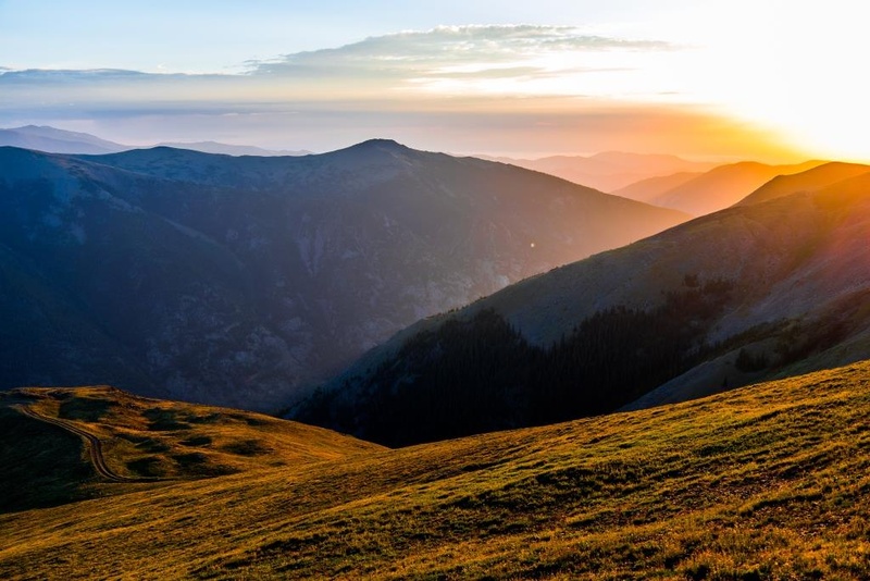
A view east at sunrise from right below Ganley
Once on the ridge I walk the top of it up to Ganley Mountain where I stop for some food. Then a little longer on the ridge before dropping down to the 4x4 road which I follow until it ends a little under McCellan. I continue to McCellan and then onto Edwards.
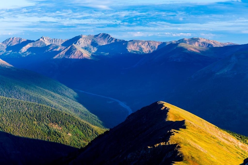
Looking NE along the ridge from GanleyThe ridge circles around views of Kelso
At Edwards I pause for a couple minute to appreciate the view and take a look at the ridge traverse ahead.
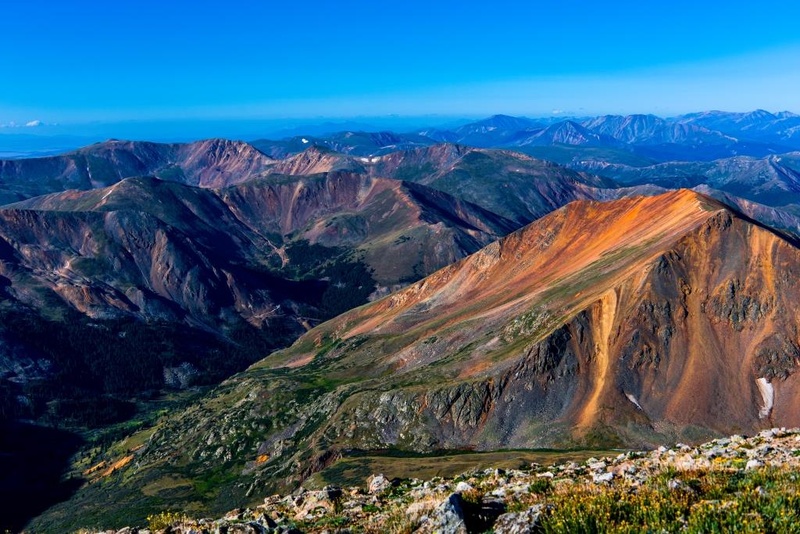
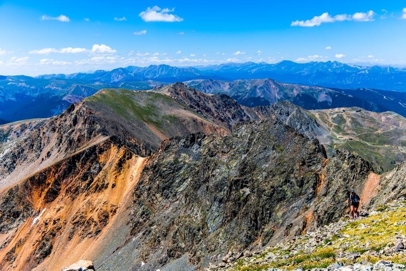
Ruby Mountain stands out from Edwards all the way to Grays
The traverse starts and ends on a use trail and, as I discover, keeps that trail almost the entire way. There are a few places along it where the trail disappears for a little or some steep scree makes other options attractive. However, mostly you just stay on the spine of the ridge.
The Edwards to Grays traverse
Once you reach the final saddle and start the continuous climb up Grays, a non-official but very substantial trail takes over and runs all the way to the summit.
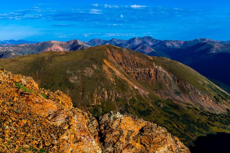
Kelso and in the back with the ramp up Grays in the foreground
At the summit I stand around long enough to take some pictures, but it's a bit of a zoo so I quickly head down, looking over to Torreys.
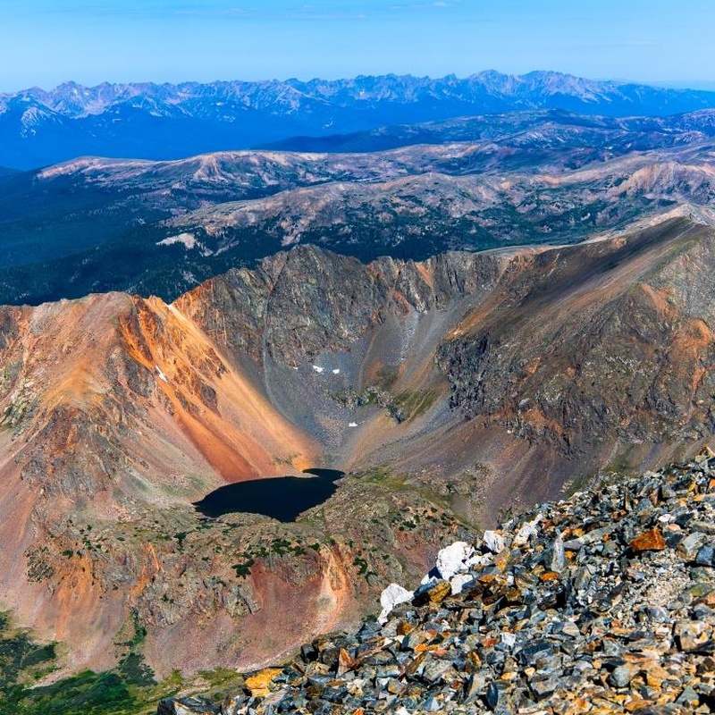
Chihuahua lake below Black Mountain
I just take the standard route to Torreys. Really nice trail.
Just below the top of Torreys, looking at Kelso
Just like Grays, Torreys is pretty crowded, so some more pictures and then down the west face. There's a really good use (or maybe abandoned official) trail. It runs all the way down the scree slope to the saddle with Grizzly. I had to pause for a half hour for a work call, but otherwise it's down and up.
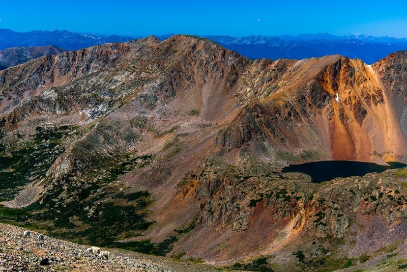
Mountain goats graze on the west face of Torreys with Chihuahua lake in the backgroundThe route up the west face of Torreys
The use trail ends at the saddle, not picking up again until close to the top of Grizzly, but there's no real need for a trail: it's broad slope that's grass until the final ridge. At that point, just staying on the ridge line works great. I make it to Grizzly and begin encountering people coming over from Loveland Pass.
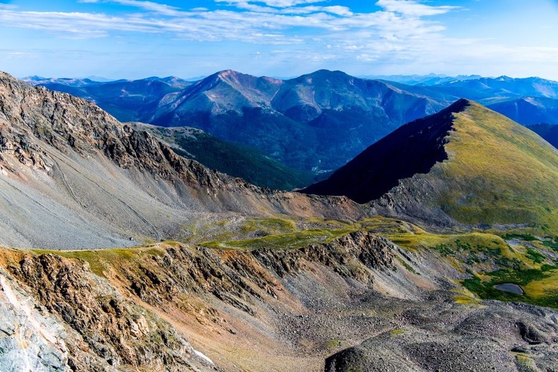
The ridge down from Grizzly to Black Mountain and the Lenawees
Now I'm back on an official trail system again. I follow that trail down Grizzly and up to Cupid, where I leave the trails one last time. I'm headed down that ridge to Baker Mountain.
Looking back at Grizzly from the route down to Baker from Cupid
There's a very steep scree slope just a little way east from Cupid, but there's a route down so it's just a question of going slow. And after that it's pretty much just tundra walking all the way. I head over to Baker and take in the views.
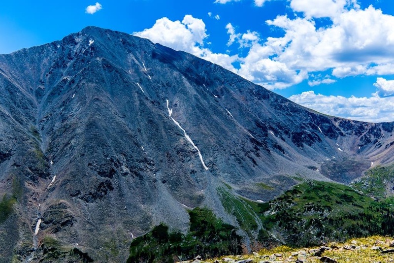
Torreys north face from the Baker Mountain ridgeThe valley below Sniktau from Baker
Now the final drop down. The route just continues to follow the ridge line, including a drop into the trees. Some spots get a little dense with underbrush and deadwood, but mostly it's steep. Sticking to the spine keeps the worst of the undergrowth out of the way with some minor route finding. Finally, I break north and intersect the bike path a short distance from the trailhead and follow it back to the car. This was a great route to really circumnavigate the basin(s) there and keep in the views just about the whole day.
GPS Track(s) on Google Maps (made from a .GPX file upload):
Thumbnails for uploaded photos (click to open slideshow):
Comments or Questions
Caution: The information contained in this report may not be accurate and should not be the only resource used in preparation for your climb. Failure to have the necessary experience, physical conditioning, supplies or equipment can result in injury or death. 14ers.com and the author(s) of this report provide no warranties, either express or implied, that the information provided is accurate or reliable. By using the information provided, you agree to indemnify and hold harmless 14ers.com and the report author(s) with respect to any claims and demands against them, including any attorney fees and expenses. Please read the 14ers.com Safety and Disclaimer pages for more information.
Copyright: Route information, text, risk factors, maps, GPX files, charts, photos, 14ers.com-created map imagery, flythroughs, and other content provided in this route description are copyrighted by 14ers.com and may not be copied, reproduced, republished, distributed, modified, or used to create derivative works without prior written permission.
Please respect private property: 14ers.com supports the rights of private landowners to determine how and by whom their land will be used. In Colorado, it is your responsibility to determine if land is private and to obtain the appropriate permission before entering the property.