Download Agreement, Release, and Acknowledgement of Risk:
You (the person requesting this file download) fully understand mountain climbing ("Activity") involves risks and dangers of serious bodily injury, including permanent disability, paralysis, and death ("Risks") and you fully accept and assume all such risks and all responsibility for losses, costs, and damages you incur as a result of your participation in this Activity.
You acknowledge that information in the file you have chosen to download may not be accurate and may contain errors. You agree to assume all risks when using this information and agree to release and discharge 14ers.com, 14ers Inc. and the author(s) of such information (collectively, the "Released Parties").
You hereby discharge the Released Parties from all damages, actions, claims and liabilities of any nature, specifically including, but not limited to, damages, actions, claims and liabilities arising from or related to the negligence of the Released Parties. You further agree to indemnify, hold harmless and defend 14ers.com, 14ers Inc. and each of the other Released Parties from and against any loss, damage, liability and expense, including costs and attorney fees, incurred by 14ers.com, 14ers Inc. or any of the other Released Parties as a result of you using information provided on the 14ers.com or 14ers Inc. websites.
You have read this agreement, fully understand its terms and intend it to be a complete and unconditional release of all liability to the greatest extent allowed by law and agree that if any portion of this agreement is held to be invalid the balance, notwithstanding, shall continue in full force and effect.
By clicking "OK" you agree to these terms. If you DO NOT agree, click "Cancel"...
The DeCaLiBron loop was my finisher back in 2019 and I had not climbed any of it's peaks since. I decided it was time to revisit an old friend. I had yet to climb these in the summer and I still needed to connect a 13er to them for which Buckskin was the obvious choice. I had done Buckskin once before, as well, along with Loveland Mountain on a snowy day back in 2020.
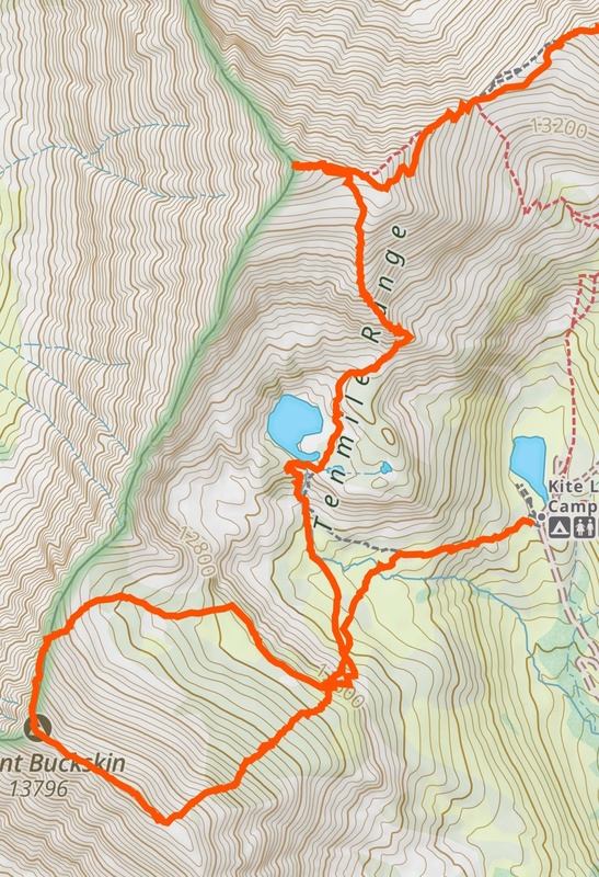
The plan for this climb was to hit Buckskin first and then find a way up the south side of Democrat so I wouldn't have to return to Kite Lake. There were 3 choices I was considering for my ascent of Democrat following Buckskin: the south ridge, south face or the southeast ridge and they all looked like good possibilities.
Day of Climb: Monday September 1, 2025
Peaks: Democrat, Cameron, Lincoln, Bross and Buckskin
Trailhead: Kite Lake
Mileage and Elevation Gain: Approximately 10 miles with 4588 feet of gain
Gaia track of Buckskin to Democrat.
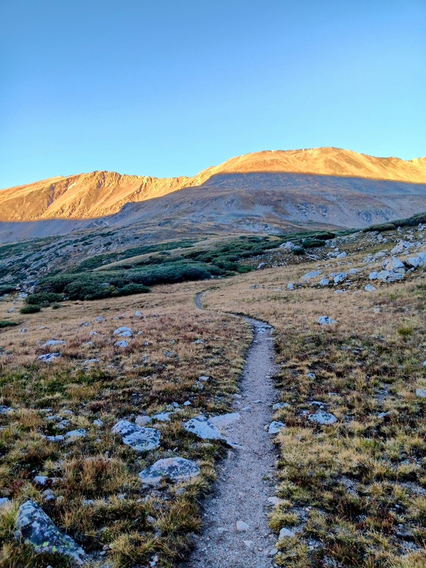
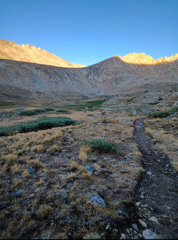
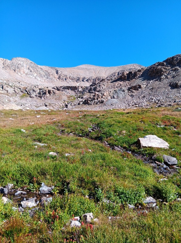
I arrived at the Kite Lake trailhead around 6:30 am and snagged one of the last remaining spots in the parking lot. By 7 I was hiking up the Lake Emma trail towards Buckskin which starts right near the outhouse. Once in the upper basin I veered off trail through a marshy area south towards the northeast slope of Buckskin.
Lake Emma trail with Buckskin dead ahead and Loveland Mountain on the left.Getting close to the upper basin.
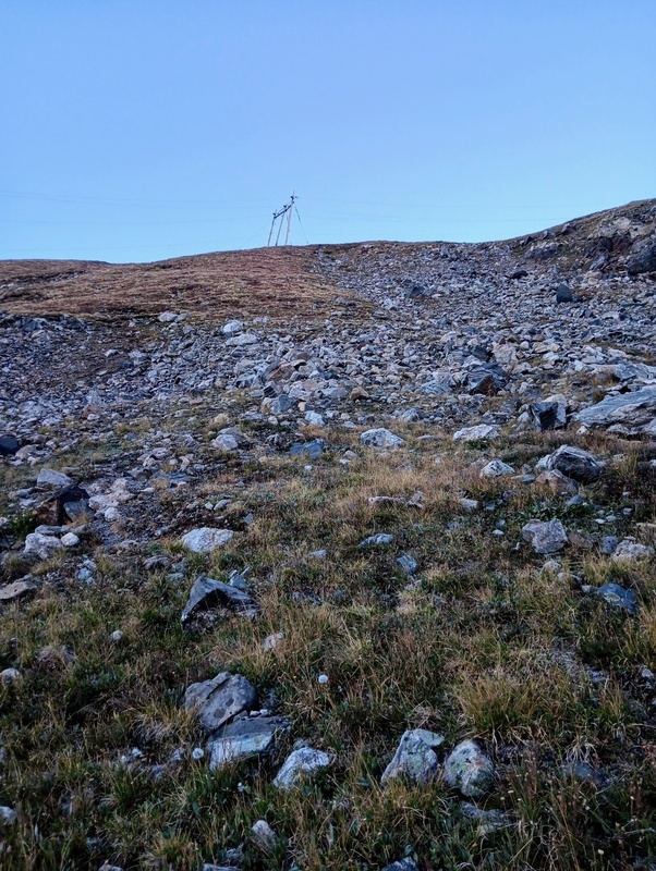
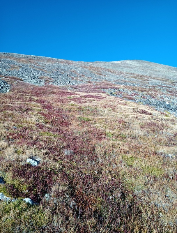
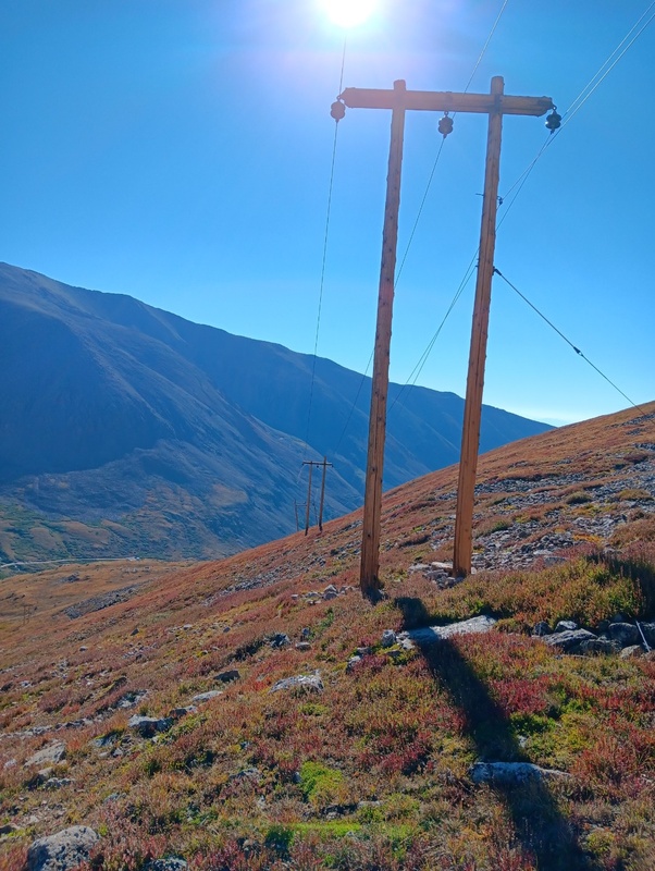
At the south end of the basin the real climbing quickly began as it steepened almost immediately. I passed under some powerlines and continued straight up towards the ridge over a tundra/talus mix. Occasionally, there was a faint climbers trail, but mostly it was just choice your own adventure. I saw several ptarmigans and many small groups of what looked like Brown-capped Rosy Finches feeding on grasses and weeds. It was about 1,400 vertical feet of climbing to the ridge.
Beginning of northeast slope and the powerlines.Upper slope.
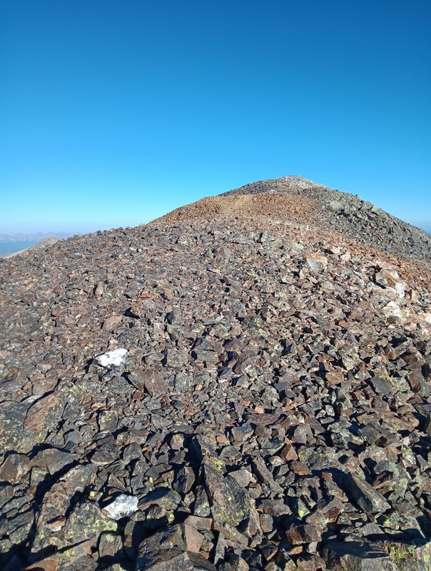
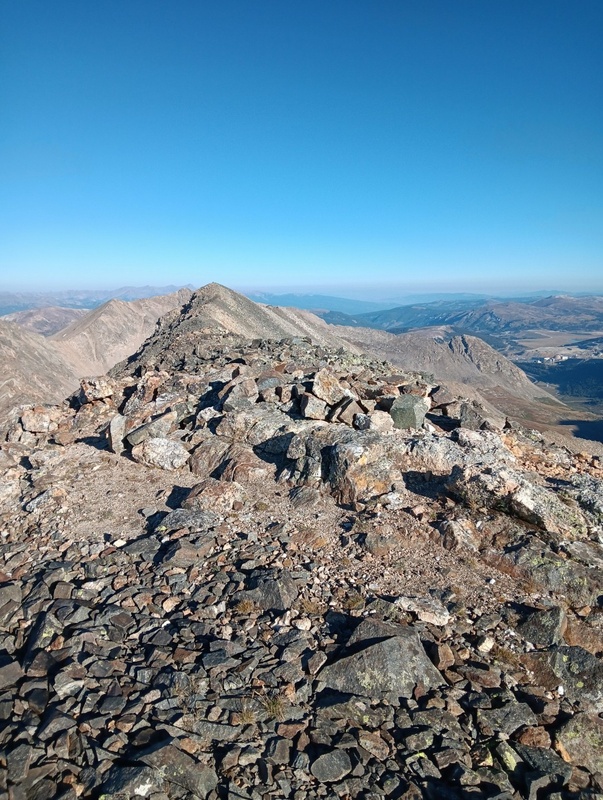
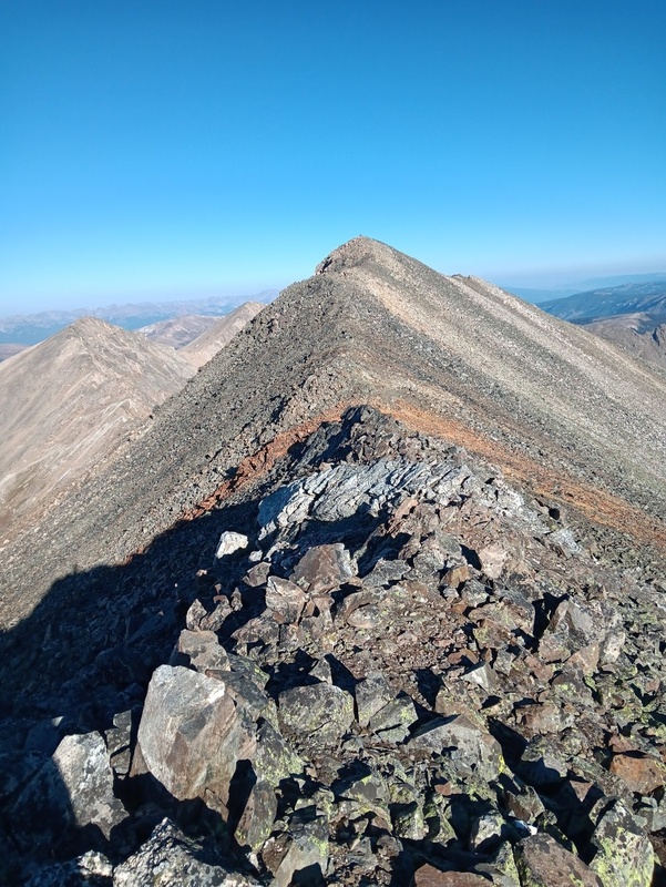
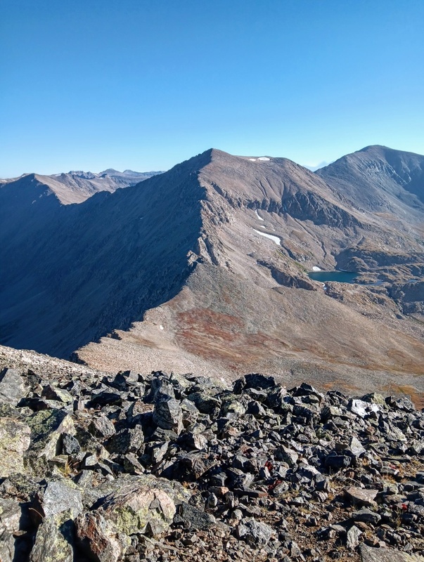
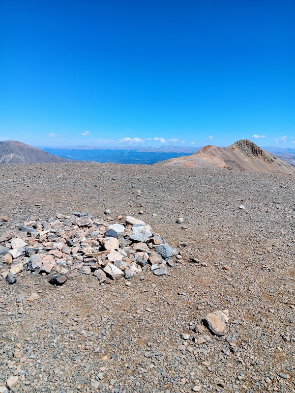
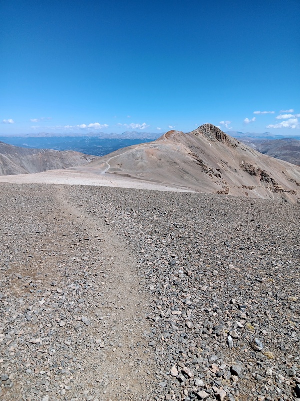
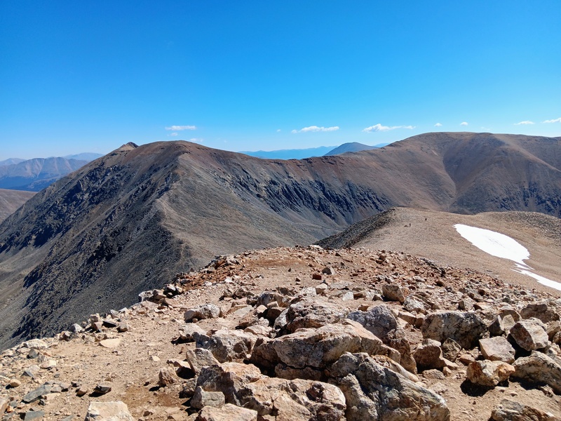
I reached the southeast summit of Buckskin shortly after gaining the ridge. This, I didn't think was the true summit though? So, I continued along the ridge crest over rocky terrain a short distance to reach the northwest summit. I believe this was the true summit according to several sources although they did appear almost identical in height.
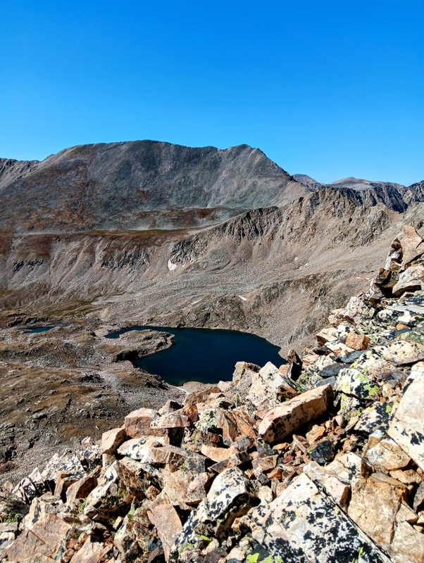
Approaching the southeast summit of Buckskin.Standing on the southeast summit looking across the short traverse to the northwest summit.Traversing towards the northwest summit.At the northwest summit of Buckskin looking towards Mt Democrat. Lake Emma can be seen as well.
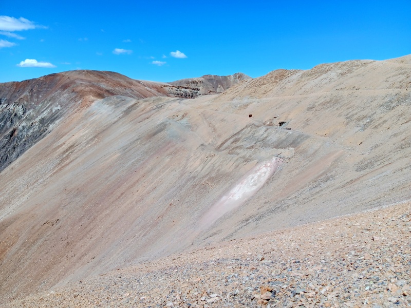
Now it was route decision time for Democrat. I had had a good look at all 3 routes I was contemplating while climbing Buckskin and was leaning towards the southeast ridge with the south slope as a backup. The south ridge looked way too complicated and time consuming.
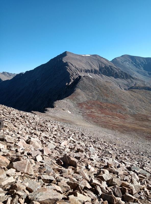
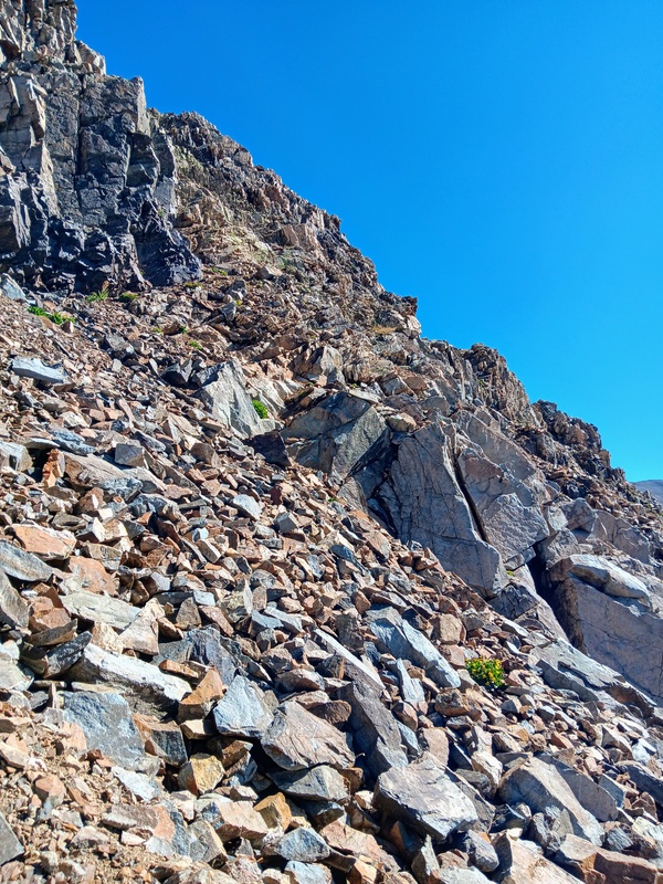
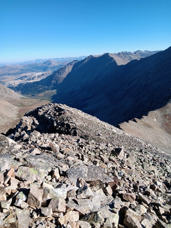
Still, I decided to head down Buckskins north ridge to complete the tour of Buckskin. It probably would've been quicker and more enjoyable though to retrace my steps back the way I came, but this ridge looked more interesting and so down the steep talus I went. It wasn't bad though and eventually the talus petered out onto a grassy bench. I then followed the powerlines back to the northeast slopes of Buckskin and finally a speedy return back down to the basin.
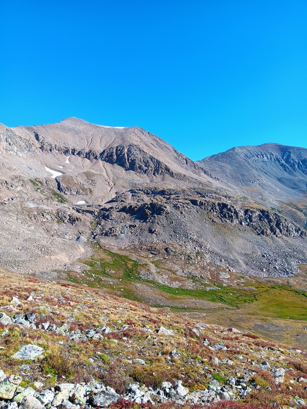
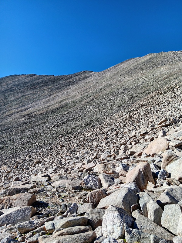
Starting down Buckskins north ridge.Working my way through the talus.Looking back up Buckskin.Back at the powerlines.Looking across at Democrat from the powerlines.
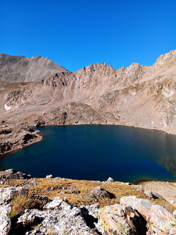
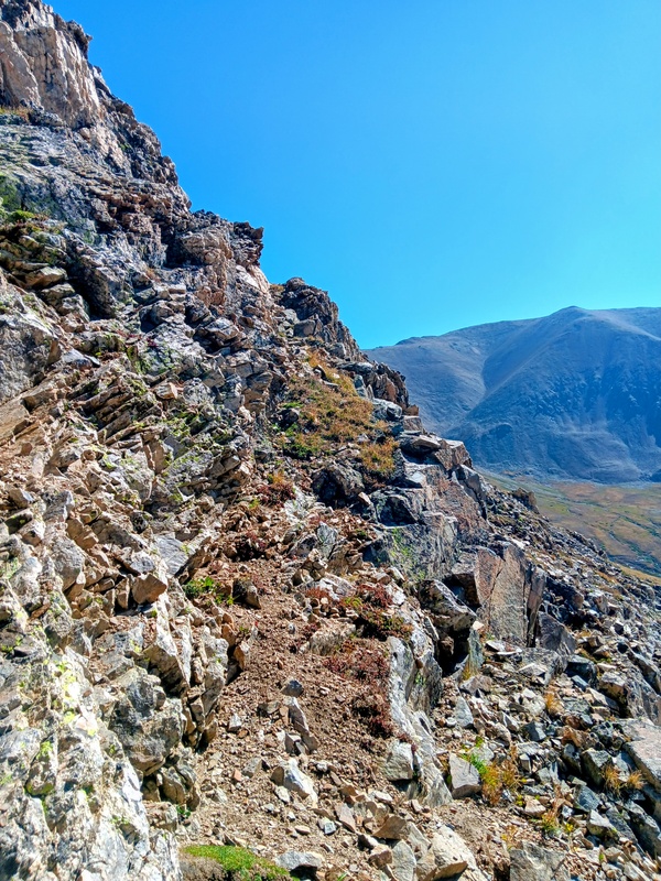
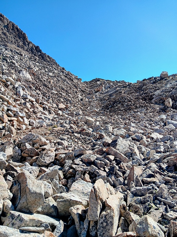
It was then smooth sailing across the basin and up to Lake Emma. This is a beautiful lake and would make for a nice hike all by itself. At the lake, I circled counterclockwise to the northeast side aiming towards a lower section of Democrats southeast ridge. This took me up a pair of talus gullies which eventually led, much to my relief, to a conveniently placed ramp allowing me easy access to Democrats southeast ridge.
Crossing the basin towards Lake Emma.Trail to Lake Emma.Going around Lake Emma.First talus gully.Lake Emma.Second Talus Gully.Climbing to the ramp.Ramp.Further up the ramp.Southeast ridge.
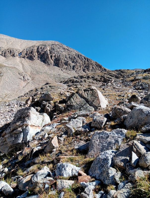
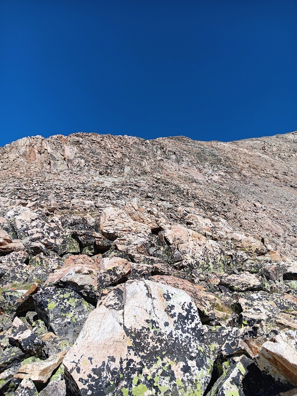
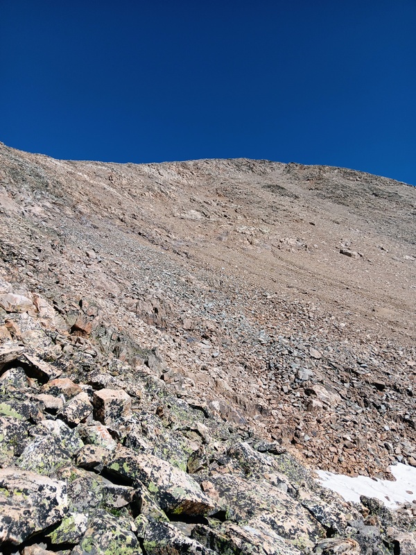
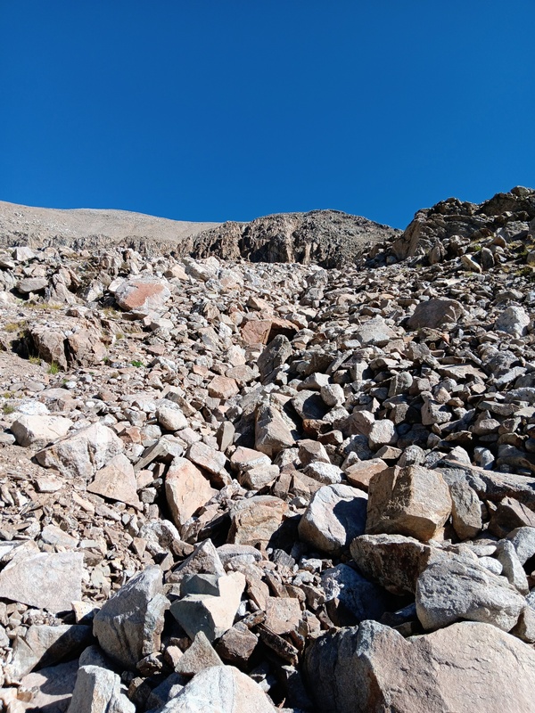
The ramp put me directly onto Democrats southeast ridge and a sea of talus lay ahead. It was steep too, but I could see no difficulties ahead and that made me happy. Up to this point, I still wasn't sure how well the ridge would actually go having found very little beta. It was nice to see my planned route come together nicely.
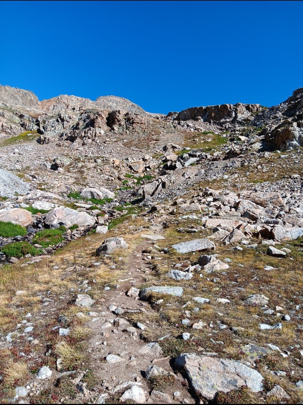
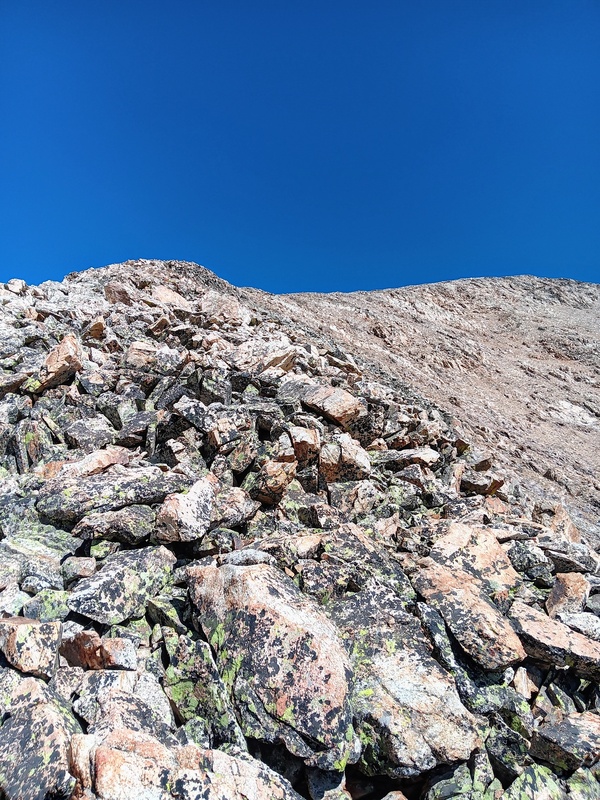
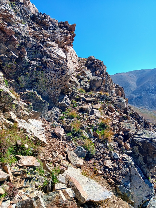
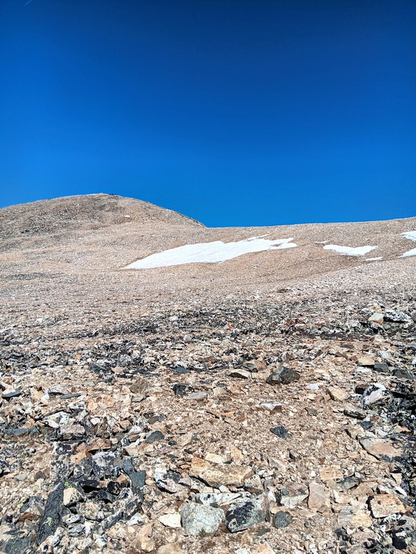
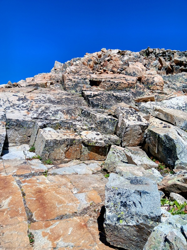
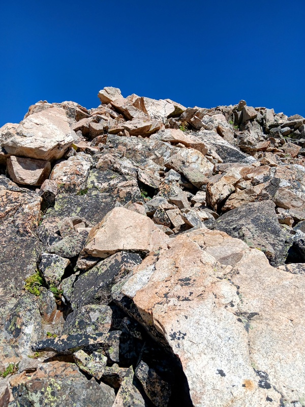
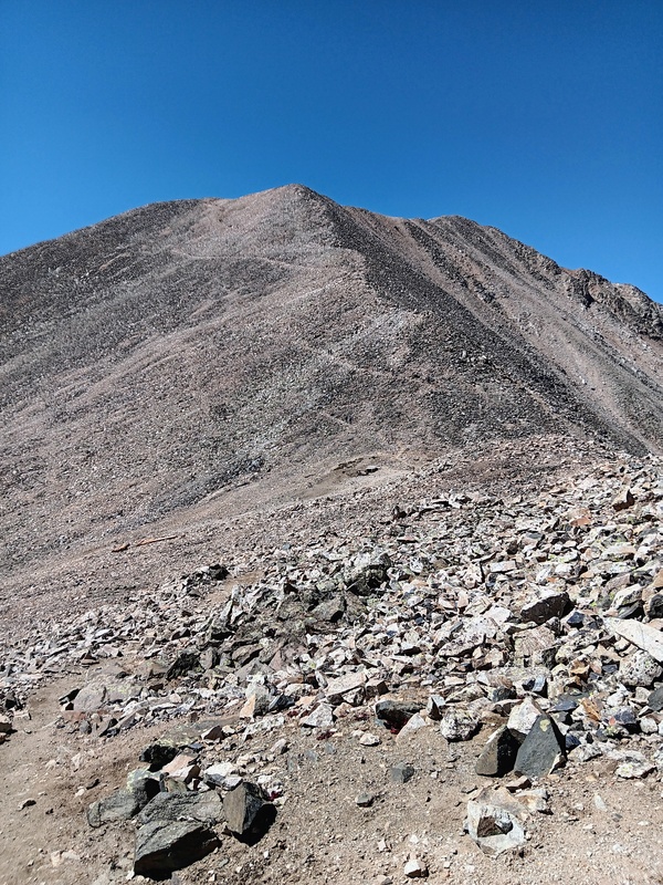
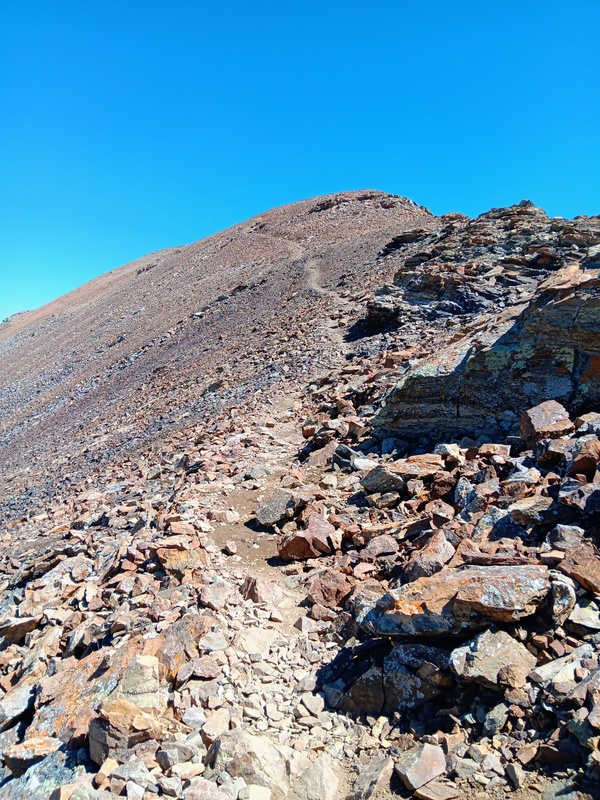
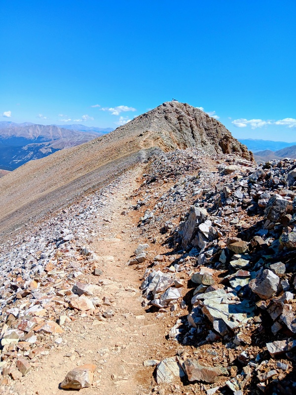
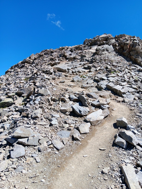
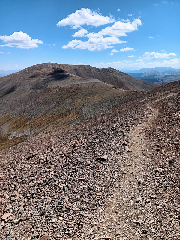
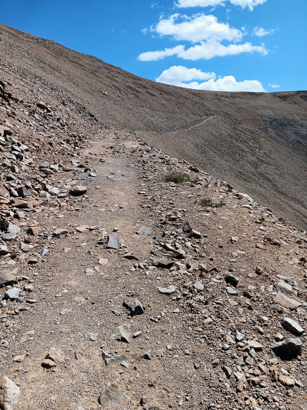
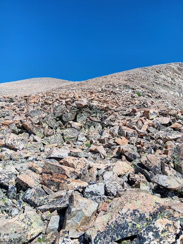
The climb up the ridge went pretty well. It was wide and the talus was for the most part stable. It was no more than class 2+ although there was probably a couple spots you could make a class 3 move if you really wanted to for no reason. As the ridge slowly curved northward it thankfully mellowed out and became more of a slope. It was then just a long grind to Democrats upper ridge where I merged with the standard trail and quickly found myself standing on the summit. I was now seeing lots of climbers and I hadn't see any since leaving Kite Lake. I think a few were a little surprised to see someone coming up from the south.
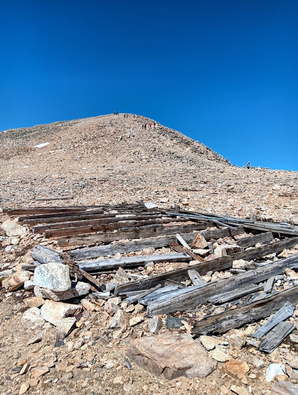
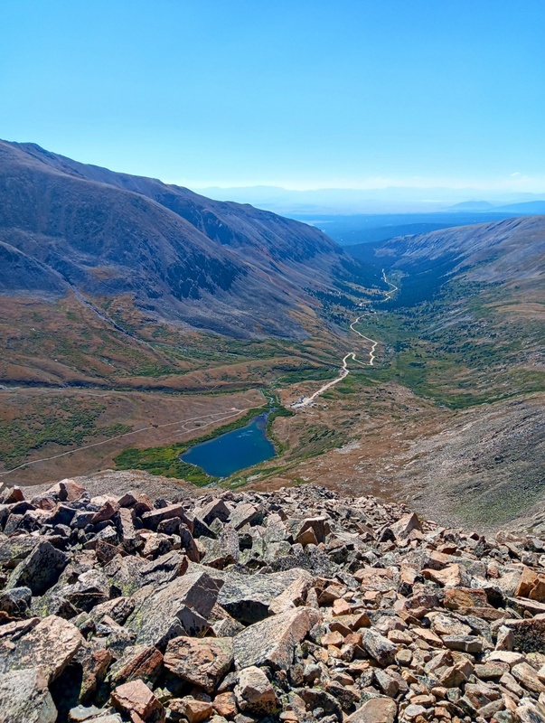
Southeast face.Further up the ridge.Lake Emma again.A little slabby section here.Steep talus.A good view of why Kite Lake is called Kite Lake.The ridge turning northward and mellowing out.Upper ridge and summit.Final climb to the summit.Summit! Looking towards Cameron and Lincoln.
I was happy to be on my second summit of the day already and really enjoyed this route to Democrat from Buckskin. It went easier than I had thought it might and would definitely recommend. It was a nice way to avoid the crowds on the standard DeCaLiBron trail for at least a little bit. I think taking this southeast ridge directly from Kite Lake would potentially make it the shortest route on Democrat.
The weather was perfect so I enjoyed the summit for 15 minutes or so before moving on. I still had the rest of the DeCaLiBron to complete. It went fairly quick though and after the down climb to the Democrat-Cameron saddle I barely saw anyone over the rest of the loop. It was another great day in the mountains and I thoroughly enjoyed revisiting these peak. Thanks for reading!
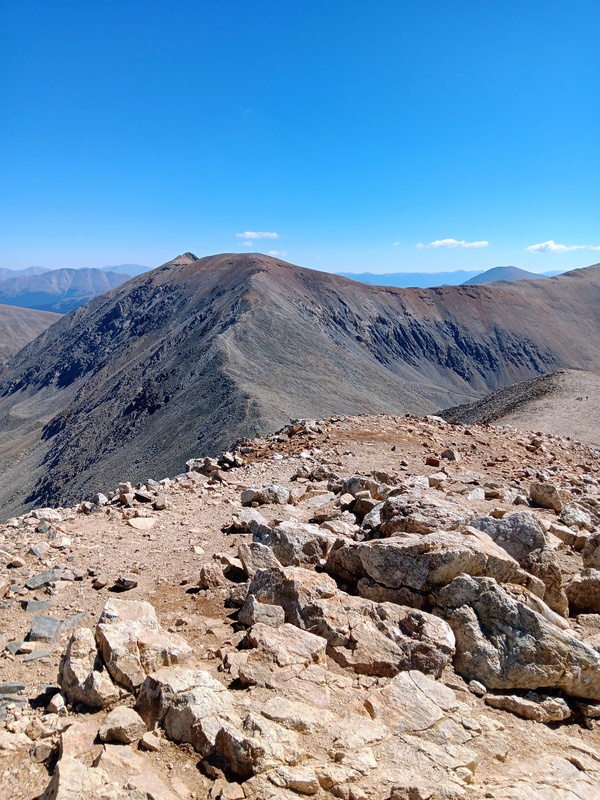
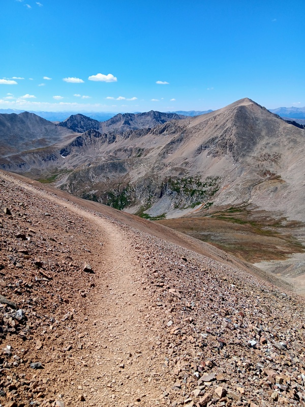
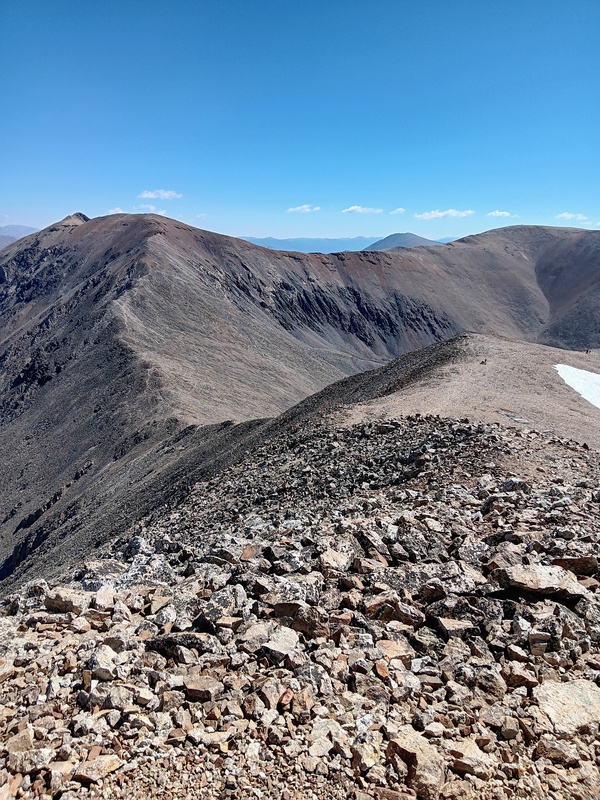
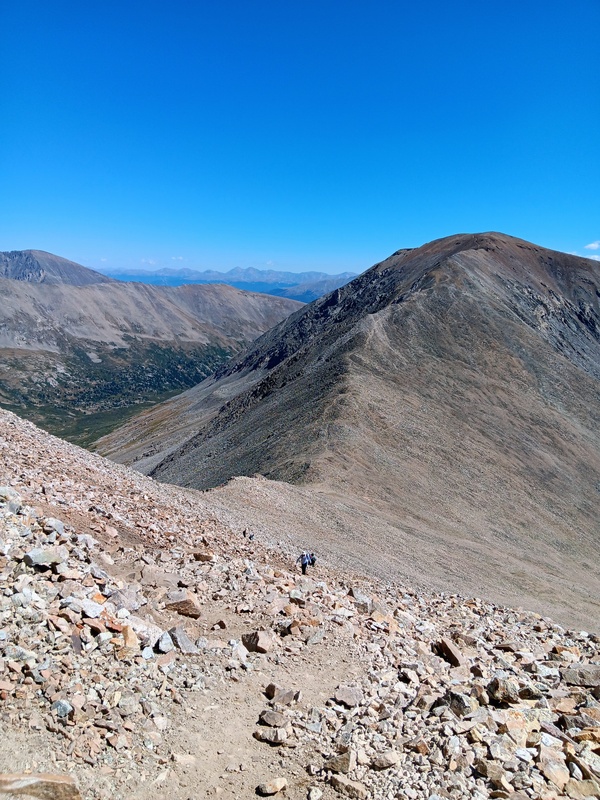
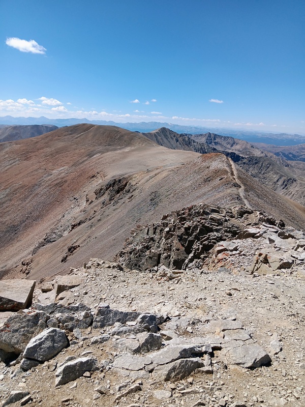
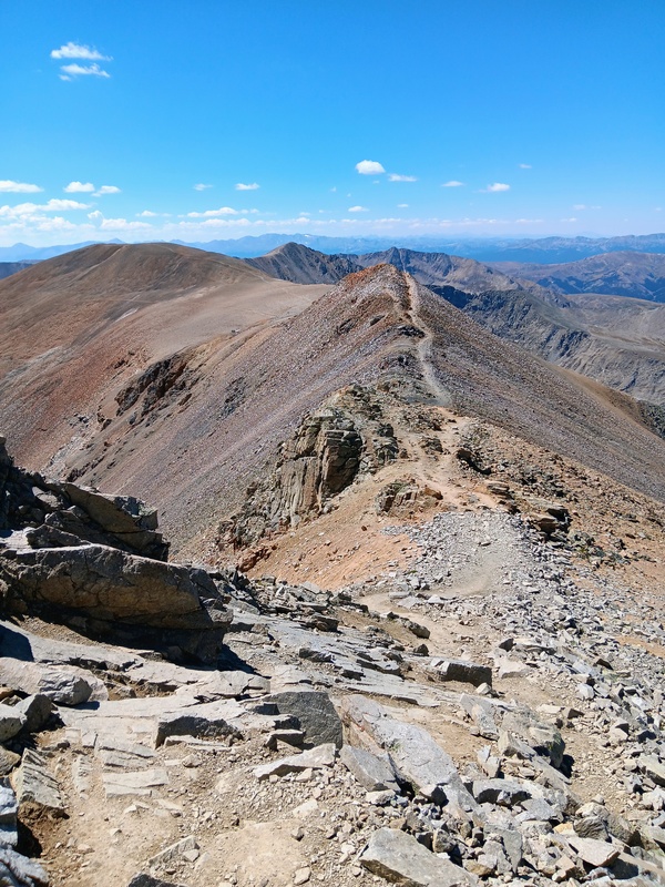
Starting down Democrats upper ridge.Further down Democrat.Looking up Cameron.Going up Cameron.Cameron summit!Working my way towards Lincoln.Going up Lincoln.Almost to Lincolns summit.Going down Lincoln.Heading towards Bross.Bross bypass.Looking back towards Lincoln.Descending to Kite Lake.
GPS Track(s) on Google Maps (made from a .GPX file upload):
I have done the Kite Lake 14ers twice, Mt. Buckskin once, and Lake Emma once. This was a very fascinating route! From Lake Emma that climb must be pretty steep. I wonder if, as you suggest, a route is added from Kite Lake via Lake Emma, how much elevation gain that would be to Mt. Democrat, compared to the standard route.
Thanks for sharing!
Caution: The information contained in this report may not be accurate and should not be the only resource used in preparation for your climb. Failure to have the necessary experience, physical conditioning, supplies or equipment can result in injury or death. 14ers.com and the author(s) of this report provide no warranties, either express or implied, that the information provided is accurate or reliable. By using the information provided, you agree to indemnify and hold harmless 14ers.com and the report author(s) with respect to any claims and demands against them, including any attorney fees and expenses. Please read the 14ers.com Safety and Disclaimer pages for more information.
Copyright: Route information, text, risk factors, maps, GPX files, charts, photos, 14ers.com-created map imagery, flythroughs, and other content provided in this route description are copyrighted by 14ers.com and may not be copied, reproduced, republished, distributed, modified, or used to create derivative works without prior written permission.
Please respect private property: 14ers.com supports the rights of private landowners to determine how and by whom their land will be used. In Colorado, it is your responsibility to determine if land is private and to obtain the appropriate permission before entering the property.