Download Agreement, Release, and Acknowledgement of Risk:
You (the person requesting this file download) fully understand mountain climbing ("Activity") involves risks and dangers of serious bodily injury, including permanent disability, paralysis, and death ("Risks") and you fully accept and assume all such risks and all responsibility for losses, costs, and damages you incur as a result of your participation in this Activity.
You acknowledge that information in the file you have chosen to download may not be accurate and may contain errors. You agree to assume all risks when using this information and agree to release and discharge 14ers.com, 14ers Inc. and the author(s) of such information (collectively, the "Released Parties").
You hereby discharge the Released Parties from all damages, actions, claims and liabilities of any nature, specifically including, but not limited to, damages, actions, claims and liabilities arising from or related to the negligence of the Released Parties. You further agree to indemnify, hold harmless and defend 14ers.com, 14ers Inc. and each of the other Released Parties from and against any loss, damage, liability and expense, including costs and attorney fees, incurred by 14ers.com, 14ers Inc. or any of the other Released Parties as a result of you using information provided on the 14ers.com or 14ers Inc. websites.
You have read this agreement, fully understand its terms and intend it to be a complete and unconditional release of all liability to the greatest extent allowed by law and agree that if any portion of this agreement is held to be invalid the balance, notwithstanding, shall continue in full force and effect.
By clicking "OK" you agree to these terms. If you DO NOT agree, click "Cancel"...
After a long day climbing Pyramid, I needed a relatively simple climb to finish this visit to the Rockies. With that in mind, I chose Grays and Torreys, two 14ers right next to each to each other which can be climbed entirely on a rugged trail, with no scrambling involved.
With the discussion recently about the parking issues, I decided to just drive up the night before and sleep in the car. I'm glad I did, because the parking did fill up early in the morning, and it was a Friday morning, not a weekend. Do arrive at this one early unless you want to hike up the road as well. The road is rather rough, too - I don't think an ordinary passenger car is a good idea. You'll want something with a little clearance.
With most of these, I like to give advice on routes and such - but this climb doesn't need it. The trail, while rugged and somewhat steep at times, is clear all the way up to both peaks. There's no route-finding difficulty, and no exposure unless you intentionally wander off the trail on the way up to Torreys. Start by crossing the footbridge at the parking lot and hike on up. Pictures along the way:
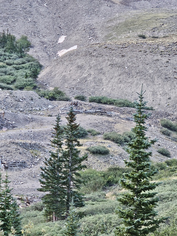
Old mining ruins near start of path.
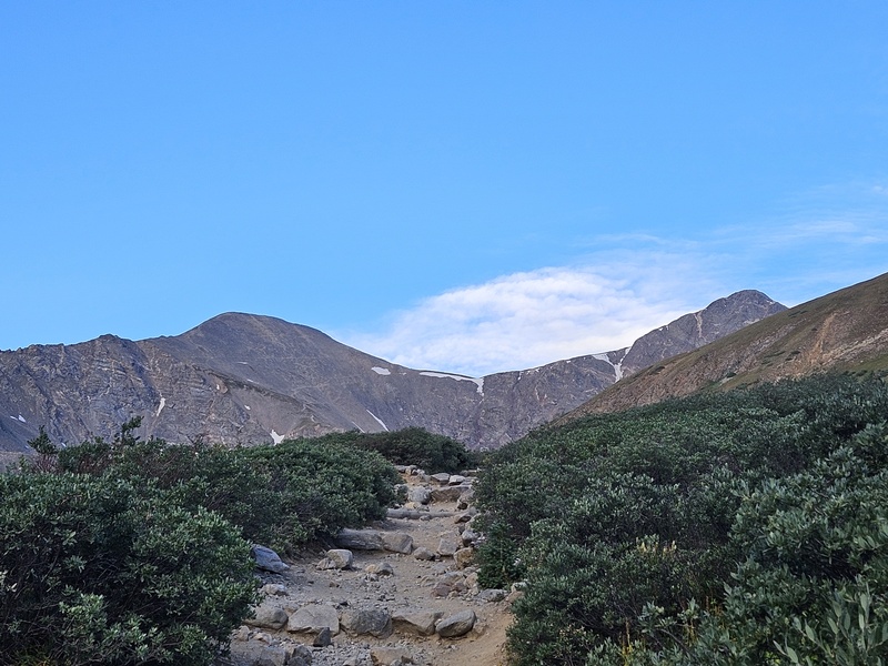
First view of Grays (left) and Torreys (right) together
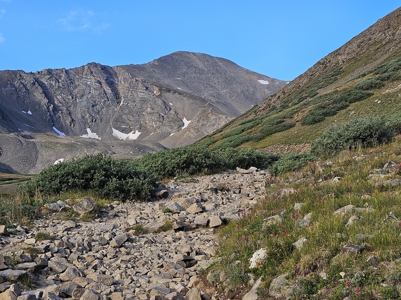
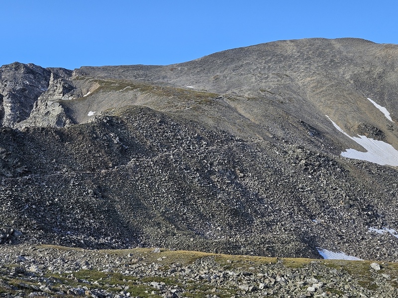
Continuing up the path: the switchbacks crisscrossing Grays' face are visible
Keep an eye out for a trail splitting off to the right, which leads to a low point on Kelso Ridge, the rough ridge climb to Torreys. It's a class 3 scramble, not the standard route. Turn right if you want the challenge, but continue straight for the standard class 1 route.
To the right of the path, you can see the trail up to Kelso Ridge.
Kelso Ridge looks tough, but the further you continue up the trail, it looks progressively easier.
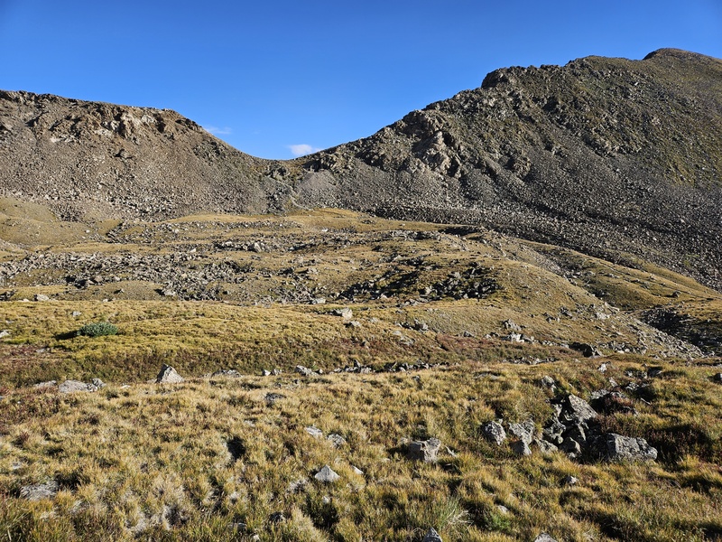
The trail continues up towards Grays
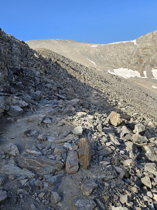
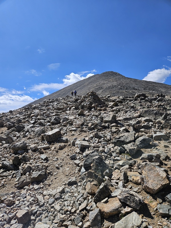
The trail gets rougher as it ascends the side of Grays
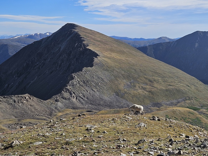
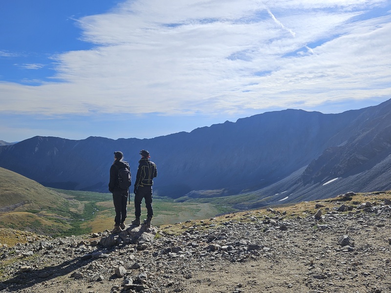
The view back down the valley, with a goat in there too.
Admiring the views
View looking back
As you work up towards the saddle, you'll reach a fork:
Fork in the path
Left is the most direct route to Grays' summit. Right takes you to the low point of the saddle between Grays and Torreys, and is the most direct route to Torreys. I turned left for Grays' summit.
Continuing up Grays
The path ascends some long switchbacks up Grays' face. After some back and forth, you'll reach the summit:
Summit!
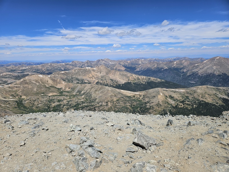
Summit views
Summit views
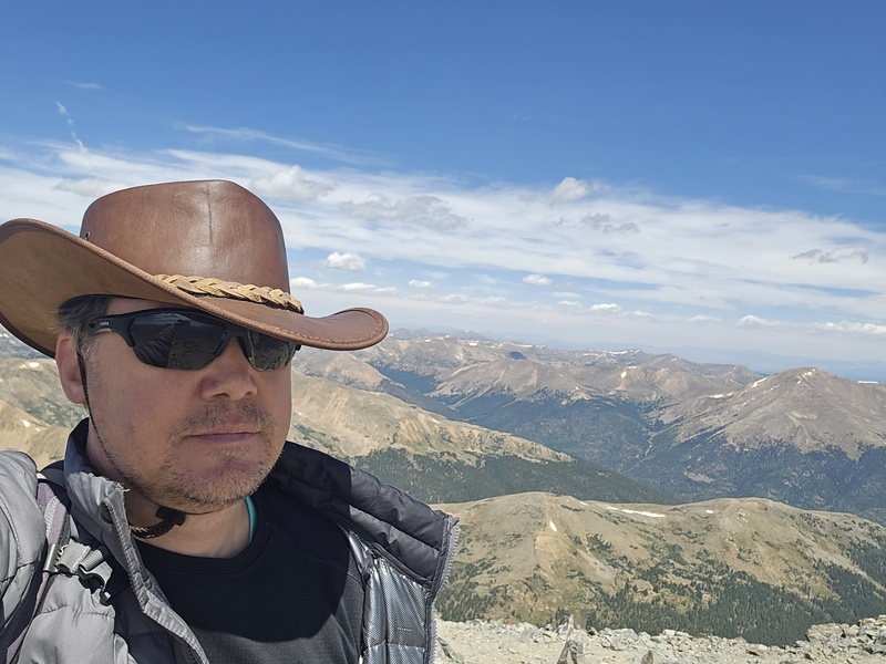
Summit selfie
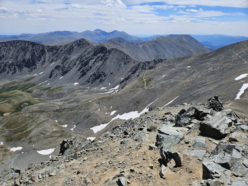
From Grays, the path to Torreys is clear:
From Grays, looking across to Torreys
The path down Grays
The path down Grays to the saddle is probably the steepest / roughest part of this path.
From the saddle, looking back at Grays
From the saddle, looking up at Torreys
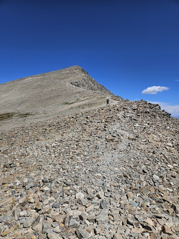
Torreys from partway up
Torreys is an odd mountain: as you ascend, the left side that faces you is gentle, while the right is craggy and steep. The path ascends the gentler side.
Approaching the summit of Torreys: people and goats are hanging out up there.
Looking down Kelso Ridge from near the summit
Before long, you'll have reached Torreys' summit as well.
View of the route from Torrey's summit
More Torreys summit views:
Caption Here
From Torreys looking back at Grays
Torreys selfie
Caption Here
Caption Here
Caption Here
From Torreys, I returned back to the saddle and hiked back to the trailhead from there.
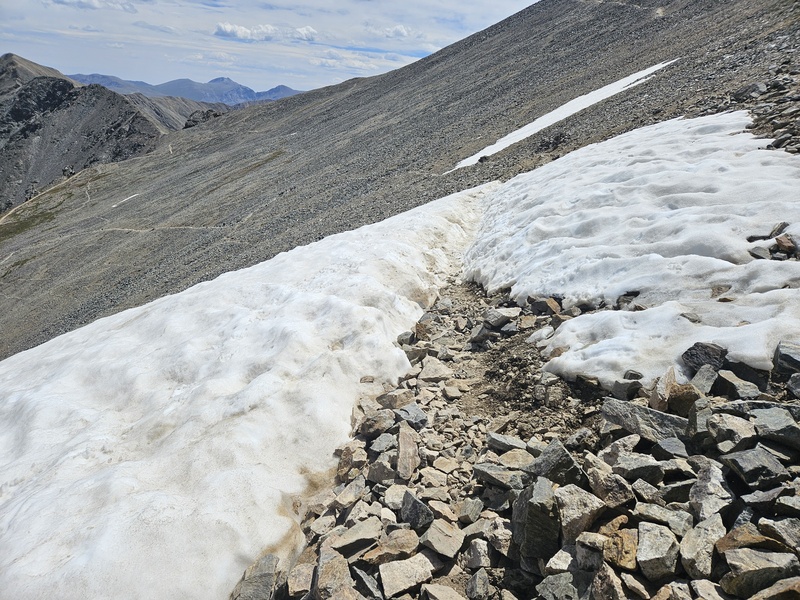
Snow just below the saddle
Looking back up at the saddle
Even on a Friday morning, Grays and Torreys were pretty crowded. Dozens of people and a few dogs were climbing these peaks, many of them trying their first 14er. And I think Grays and/or Torreys are a perfect first 14er: There's nothing easy about hiking 3000+ feet uphill, but whether hiking one or both, the path is easy to follow and has minimal danger of rockfall, exposure, or scrambling difficulties on the standard route. And if you do want a class 3 scrambling challenge, you can try Kelso Ridge.
Thumbnails for uploaded photos (click to open slideshow):
Comments or Questions
Caution: The information contained in this report may not be accurate and should not be the only resource used in preparation for your climb. Failure to have the necessary experience, physical conditioning, supplies or equipment can result in injury or death. 14ers.com and the author(s) of this report provide no warranties, either express or implied, that the information provided is accurate or reliable. By using the information provided, you agree to indemnify and hold harmless 14ers.com and the report author(s) with respect to any claims and demands against them, including any attorney fees and expenses. Please read the 14ers.com Safety and Disclaimer pages for more information.
Copyright: Route information, text, risk factors, maps, GPX files, charts, photos, 14ers.com-created map imagery, flythroughs, and other content provided in this route description are copyrighted by 14ers.com and may not be copied, reproduced, republished, distributed, modified, or used to create derivative works without prior written permission.
Please respect private property: 14ers.com supports the rights of private landowners to determine how and by whom their land will be used. In Colorado, it is your responsibility to determine if land is private and to obtain the appropriate permission before entering the property.