Log In
Explore Peaks
Colorado 14ers
Colorado 13ers
Map
What are 14ers?
360° Summit Panoramas
Routes & Planning
Routes
14er Routes
Easiest 14ers
14er Routes by Difficulty
14er Routes by Risk Factor
14er Route Selection Tool
13er Routes
GPX Library
Cell Phone Reception
User Climb Times
Getting Started
Climbing 14ers
14er FAQ
Mountaineering Safety
Difficulty Rating System
Gear List
Climbing 14ers in Winter
14er Crowds
Leave no Trace (LNT)
Weather
Peak Forecasts
WunderMap
Satellite Imagery
National Maps
CO Snow/Water Plots
CO SNOTEL Sites
Sunrise/Sunset
Mobile App
Conditions & Reports
Peak Conditions
Post a Condition Update
Trailheads
Trailhead Status
Post a TH Status Update
14er THs by Road Difficulty
Trip Reports
Community
Forum
14er User Checklists
13er User Checklists
Checklist Statistics
14ers.com on Facebook
14ers.com on Instagram
More
About 14ers.com
Support
14ers.com Store
Contact Site Admin
Search the Site
14ers.com Mobile App
App FAQ
Recommended Links
Home
Trailheads
Loveland Pass
Loveland Pass Trailhead
Front Range
Post a Status Update
Cell Phone Reception
Road Difficulty
0
Paved Road
Location
12,000 feet
39.66377, -105.8788
Driving Directions
Take Interstate 70 to the junction for U.S. 6. near the Eisenhower tunnel Follow U.S. 6 up to Loveland Pass (11,990').
Trailhead Status Updates
Most Recent Update 8/20/2022:
View All Status Updates
Post an Update
Winter Access
Open year-round unless Highway 6 is temporarily closed.
Trailhead Facilities & Fees
Parking:
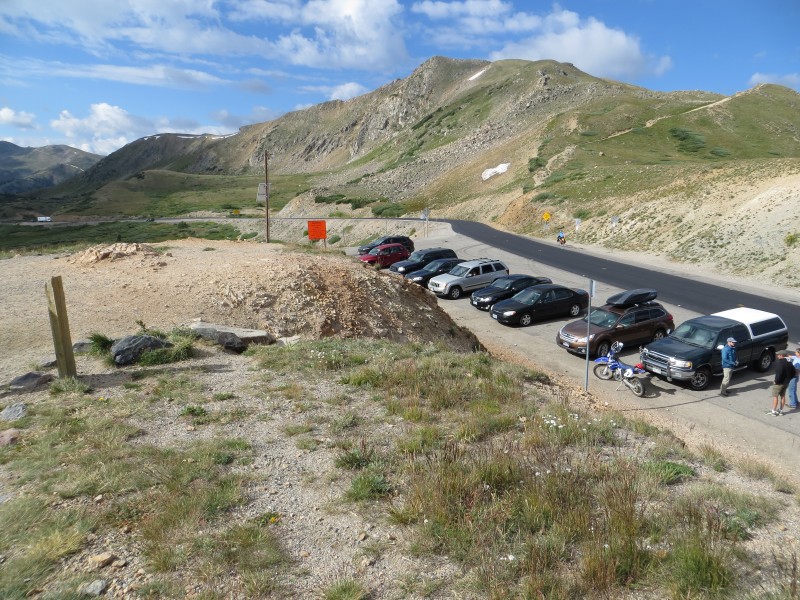
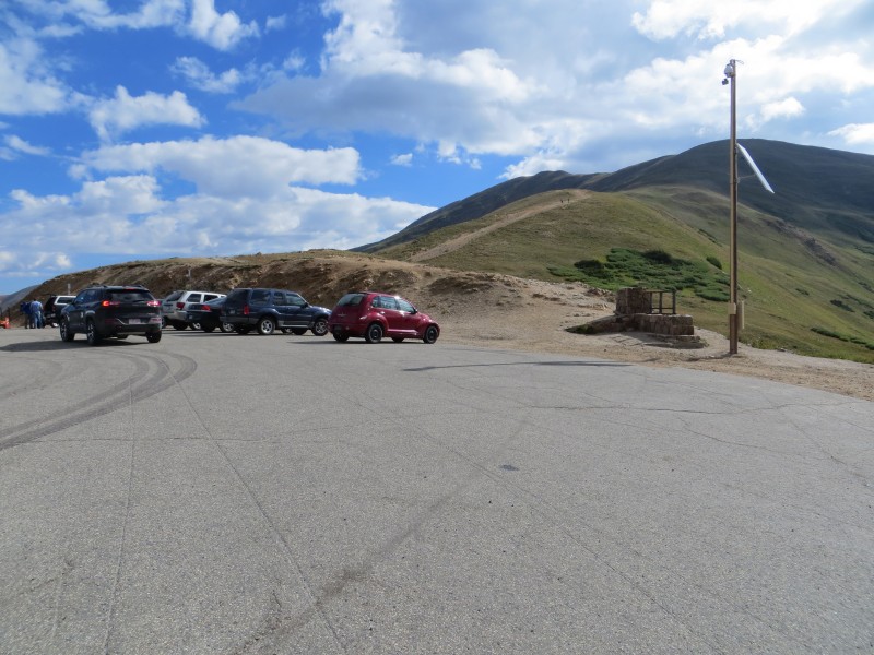
The pass has parking for about 25 cars.
Camping:
No camping spots in the area.
Restrooms:
No
Fees:
No
More Photos
Up on the ridge, looking west over the pass
2015-08-10
By:
BillMiddlebrook
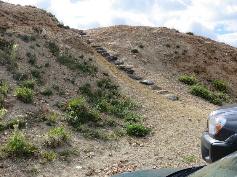
Near the north end of the parking, there are steps...
2015-08-10
By:
BillMiddlebrook
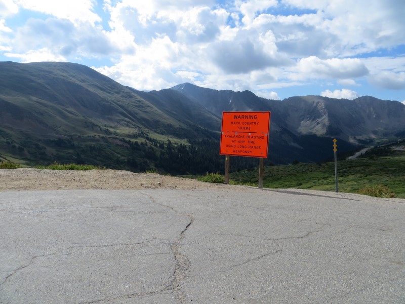
Looking southeast from the pass
2015-08-10
By:
BillMiddlebrook
Loveland Pass parking
2015-08-10
By:
BillMiddlebrook
Upload a photo
Trailhead added by
BillMiddlebrook